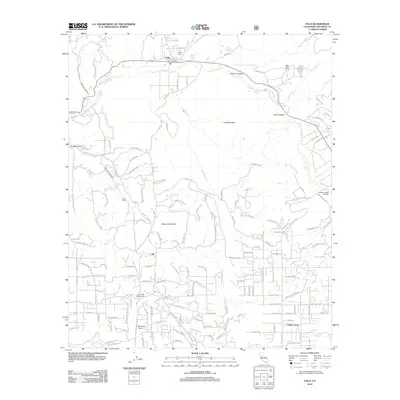
2012 Map of Pala
USGS Topo · Published 2012About this map
The San Luis Rey River winds through this North County landscape, framing a region defined by its narrow canyons and small agricultural settlements. In the northern reaches, the community of Pala serves as a focal point near the Indian Cem, while the rugged heights of Pala Mountain and Weaver Mountain separate the valley floors. The presence of the San Diego Aqueduct and the Lilac Tunnel underscores the critical infrastructure managing water across these highlands.
Find a feature on this map
143 named features on this map. Tap any name to fly to it.
Don’t see what you’re looking for? This feature index may not catch every label — zoom into the map to look around manually.
Map Details
Editions of this 2012 Pala Map
This is the sole edition of this map. No revisions or reprints were ever made.
Other maps of this area

1893 · Escondido
USGS Topo · 1:62,500

1901 · Escondido
USGS Topo · 1:62,500

1901 · San Luis Rey
USGS Topo · 1:125,000

1903 · Ramona
USGS Topo · 1:125,000

1904 · Southern California Sheet No. 2
USGS Topo · 1:250,000

1939 · Palomar Mountain
USGS Topo · 1:62,500

1942 · Temecula
USGS Topo · 1:62,500

1942 · Escondido
USGS Topo · 1:62,500

1942 · Ramona
USGS Topo · 1:62,500

1947 · Ramona
USGS Topo · 1:62,500