2021 Map of Pala
USGS Topo · Published 2021About this map
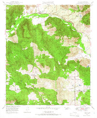
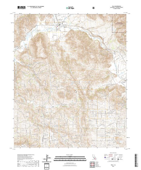
Pala sits at the foot of Pala Mtn where the San Luis Rey River flows through the northern San Diego County landscape. This 2021 map documents the intersection of centuries of history, centered on the Mission San Antonio de Pala and the adjacent Pala Indian Reservation Cem. The settlement pattern reflects the transition from historic mission lands to modern residential developments, with the Pala Mission remaining a primary landmark. To the south, the community of Lilac and the Blackinton Airport underscore the region's 21st-century character, while the complex infrastructure of the San Diego Aqueduct traverses the area's many canyons. The topography is defined by significant landmarks like Weaver Mtn and the deep cuts of Couser Canyon and Keys Canyon, illustrating the varied terrain that separates the valley floor from the Cleveland National Forest.
Find a feature on this map
165 named features on this map. Tap any name to fly to it.
Don’t see what you’re looking for? This feature index may not catch every label — zoom into the map to look around manually.
Map Details
Editions of this 2021 Pala Map
This is the sole edition of this map. No revisions or reprints were ever made.
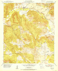
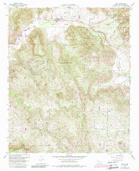
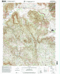
Historical Maps of Rainbow Through Time
5 maps found