2024 Map of Palatine
USGS Topo · Published 2024About this map
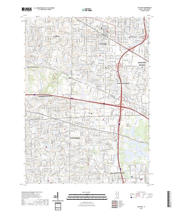
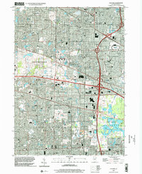
Palatine and its surrounding suburban neighbors serve as the focal point of this modern topographic record, illustrating the dense residential and commercial expansion within Cook County. The landscape is characterized by a complex network of thoroughfares, including the intersecting paths of W Golf Rd and W Higgins Rd, which anchor the sprawling development of Schaumburg and Hoffman Estates. Local history is preserved in various pockets across the quadrangle, from the grounds of Hillside Cem and Union Cem to the sprawling Harper College campus.
Find a feature on this map
69 named features on this map. Tap any name to fly to it.
Don’t see what you’re looking for? This feature index may not catch every label — zoom into the map to look around manually.
Map Details
Editions of this 2024 Palatine Map
This is the sole edition of this map. No revisions or reprints were ever made.
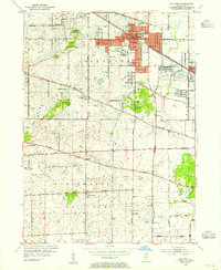
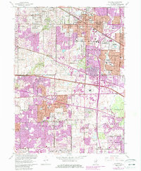
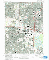
Historical Maps of Palatine Township Through Time
5 maps found
Featured Locations
- Elk Grove Village, IL
- Arlington Heights, IL
- Hoffman Estates, IL
- Schaumburg, Schaumburg Township
- Palatine, Palatine Township