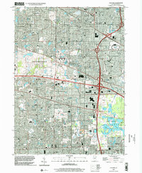
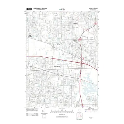
1998 Map of Palatine
USGS Topo · Published 2002About this map
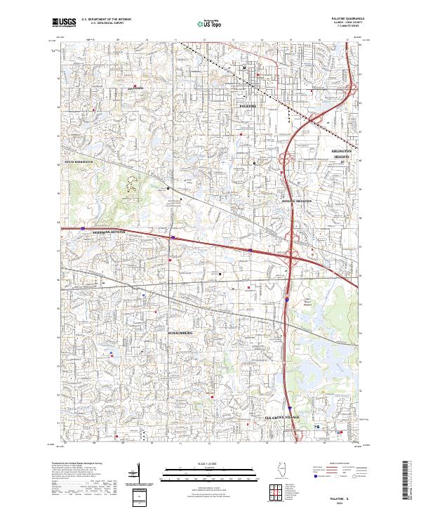
The sprawling residential and commercial landscapes of the Chicago suburbs dominate this late-century survey, specifically highlighting the rapid postwar development of Schaumburg and Hoffman Estates. Notable institutional footprints mark the landscape, from the expansive William Rainey Harper College campus to the Arlington Park Raceway in the northeast. Transportation networks like the Chicago and Northwestern railroad and the Northwest Tollway intersect these communities, illustrating the infrastructure that supported the area's massive mid-to-late 20th-century growth.
Find a feature on this map
93 named features on this map. Tap any name to fly to it.
Don’t see what you’re looking for? This feature index may not catch every label — zoom into the map to look around manually.
Map Details
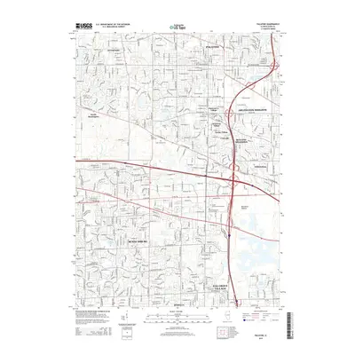
Editions of this 1998 Palatine Map
This is the sole edition of this map. No revisions or reprints were ever made.
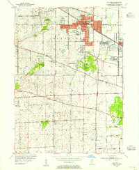
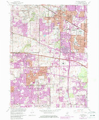
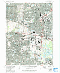
Historical Maps of Schaumburg Through Time
9 maps found
Featured Locations
- Elk Grove Village, IL
- Arlington Heights, IL
- Hoffman Estates, IL
- Schaumburg, Schaumburg Township
- Palatine, Palatine Township