
1928 Map of Elmhurst
USGS Topo · Published 1928About this map
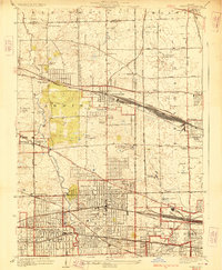
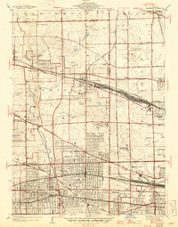
Salt Creek meanders through the western half of this 1920s landscape, providing a natural contrast to the dense grid of emerging rail-oriented suburbs. This survey reveals a region in transition as agricultural boundaries give way to planned residential blocks and industrial sites. In Addison, specialized institutions such as the Lutheran Orphanage and the Industrial Training School occupy prominent parcels, while Elmhurst is established as a central hub featuring Elmhurst College and a large Quarry near the Chicago Great Western tracks.
Find a feature on this map
71 named features on this map. Tap any name to fly to it.
Don’t see what you’re looking for? This feature index may not catch every label — zoom into the map to look around manually.
Map Details
Editions of this 1928 Elmhurst Map
3 editions found
Other maps of this area

1891 · Riverside
USGS Topo · 1:62,500

1893 · Riverside
USGS Topo · 1:62,500

1900 · Riverside
USGS Topo · 1:62,500

1900 · Highwood
USGS Topo · 1:62,500

1901 · Riverside
USGS Topo · 1:62,500

1908 · Wheaton
USGS Topo · 1:62,500

1923 · Barrington
USGS Topo · 1:62,500
1927 · Hinsdale
USGS Topo · 1:24,000

1927 · Arlington Heights
USGS Topo · 1:24,000
1928 · Berwyn
USGS Topo · 1:24,000