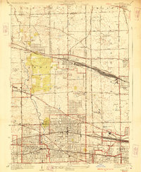
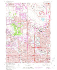
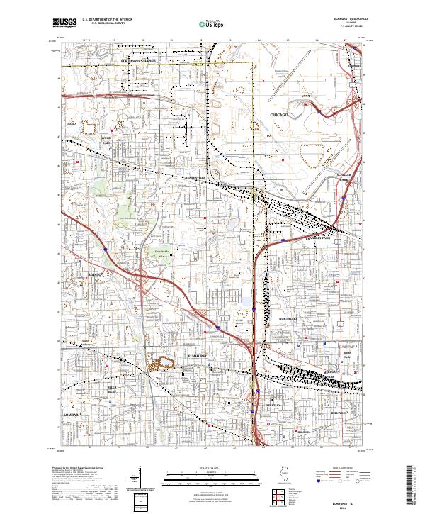
1928 Map of Elmhurst
USGS Topo · Published 1928About this map
Salt Creek and Addison Creek wind through a landscape of rapidly expanding suburbs and rail corridors during the late 1920s. This survey, compiled in part from Air Corps aerial photographs, shows a critical period of development for western Chicago suburbs. Established institutions like Elmhurst College and the Lutheran Orphanage sit alongside the burgeoning residential grids of Bensenville, Villa Park, and Elmhurst. The area is characterized by a dense network of major railroads, including the Chicago Milwaukee and St Paul and the interurban Chicago Aurora and Elgin Electric, which facilitated the region's transition from rural townships like Addison and York to commuter hubs. Local leisure and industry are captured through landmarks such as the Twin Orchard Country Club and a Quarry near the city center, while numerous cemeteries like Arlington Cemetery provide valuable records for family historians.
Find a feature on this map
75 named features on this map. Tap any name to fly to it.
Don’t see what you’re looking for? This feature index may not catch every label — zoom into the map to look around manually.
Map Details
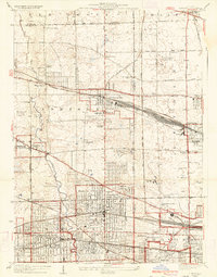
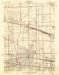
Editions of this 1928 Elmhurst Map
3 editions found
Historical Maps of Chicago Through Time
10 maps found
1928 Elmhurst
DuPage County, IL
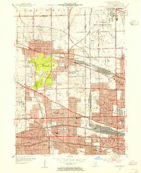
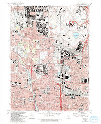
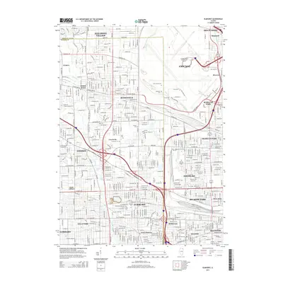
1953 Elmhurst
DuPage County, IL
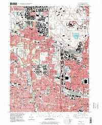
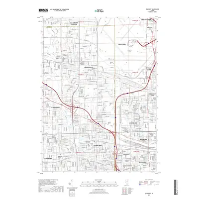
1963 Elmhurst
DuPage County, IL
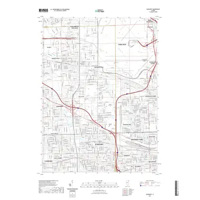
1993 Elmhurst
DuPage County, IL
1997 Elmhurst
DuPage County, IL
2012 Elmhurst
DuPage County, IL
2015 Elmhurst
DuPage County, IL
2018 Elmhurst
DuPage County, IL
2021 Elmhurst
DuPage County, IL
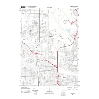
2024 Elmhurst
DuPage County, IL