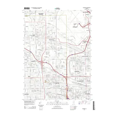
1928 Map of Elmhurst
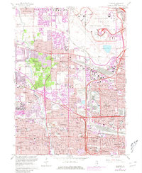
USGS Topo · Published 1946About this map
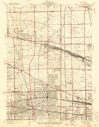
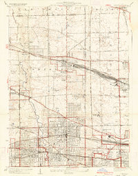
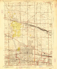
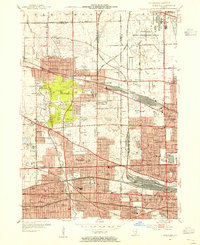
The growing suburban landscape west of Chicago takes shape in this 1940s revision of a 1920s survey, dominated by a dense network of major railroads. The Chicago and Northwestern and the Chicago Milwaukee St Paul and Pacific cut through the heart of Bensenville and Franklin Park, while the Illinois Central and Chicago Aurora and Elgin Electric serve the residential streets of Elmhurst and Villa Park.
Find a feature on this map
71 named features on this map. Tap any name to fly to it.
Don’t see what you’re looking for? This feature index may not catch every label — zoom into the map to look around manually.
Map Details
Editions of this 1928 Elmhurst Map
3 editions found
Historical Maps of Chicago Through Time
10 maps found
1928 Elmhurst
DuPage County, IL
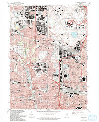
1953 Elmhurst
DuPage County, IL
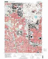
1963 Elmhurst
DuPage County, IL
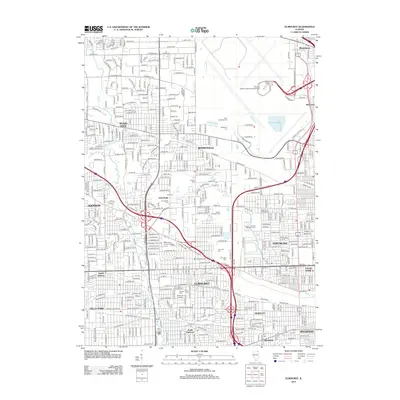
1993 Elmhurst
DuPage County, IL
1997 Elmhurst
DuPage County, IL
2012 Elmhurst
DuPage County, IL
2015 Elmhurst
DuPage County, IL
2018 Elmhurst
DuPage County, IL
2021 Elmhurst
DuPage County, IL
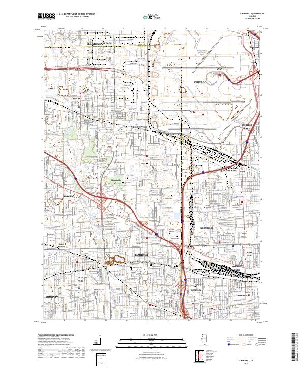
2024 Elmhurst
DuPage County, IL