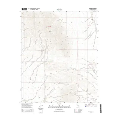
2015 Map of Palen Pass
USGS Topo · Published 2015About this map
Palen Pass serves as the central crossing point between two prominent desert ranges in this 2015 study of the eastern Riverside County wilderness. The high terrain of the Granite Mountains dominates the northern half of the sheet, giving way to the northern reaches of the Palen Mountains to the south. The arid landscape is defined by drainage patterns like Sand Draw, which cuts through the northeast corner, and the primitive track of Palen Pass Rd that provides the primary east-west access through this remote section of the Colorado Desert. The map preserves the exact alignment of these desert corridors and the topographical transition from mountain peaks to the alluvial plains of the surrounding basins.
Find a feature on this map
9 named features on this map. Tap any name to fly to it.
Don’t see what you’re looking for? This feature index may not catch every label — zoom into the map to look around manually.
Map Details
Editions of this 2015 Palen Pass Map
This is the sole edition of this map. No revisions or reprints were ever made.
Other maps of this area

1942 · Blythe
USGS Topo · 1:250,000

1942 · Amboy
USGS Topo · 1:250,000

1943 · Amboy
USGS Topo · 1:250,000

1943 · Iron Mountains
USGS Topo · 1:62,500

1945 · Midland
USGS Topo · 1:62,500

1952 · Midland
USGS Topo · 1:62,500

1952 · Palen Mountains
USGS Topo · 1:62,500

1954 · Salton Sea
USGS Topo · 1:250,000

1954 · Needles
USGS Topo · 1:250,000

1954 · Rice
USGS Topo · 1:62,500