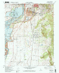
1970 Map of Palermo
USGS Topo · Published 1973About this map
The Feather River corridor south of Oroville is defined by a landscape heavily shaped by hydraulic history and infrastructure. Industrial evidence is widespread, with large tracts of Dredge Tailings flanking the river and the Western Pacific Railroad cutting a north-south line through the valley. This 1970s survey documents the growth of residential pockets like South Oroville and Palermo, where the grid of streets like Messina Ave and Villa Ave meets the rural agricultural landscape.
Find a feature on this map
47 named features on this map. Tap any name to fly to it.
Don’t see what you’re looking for? This feature index may not catch every label — zoom into the map to look around manually.
Map Details
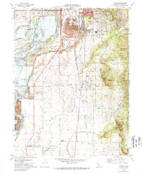
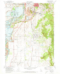
Editions of this 1970 Palermo Map
3 editions found
Other maps of this area

1888 · Marysville
USGS Topo · 1:125,000

1888 · Smartsville
USGS Topo · 1:125,000

1888 · Bidwell Bar
USGS Topo · 1:125,000

1891 · Bidwell Bar
USGS Topo · 1:125,000

1891 · Chico
USGS Topo · 1:125,000

1891 · Marysville
USGS Topo · 1:125,000

1891 · Smartsville
USGS Topo · 1:125,000

1892 · Smartsville
USGS Topo · 1:125,000

1893 · Chico
USGS Topo · 1:125,000

1893 · Bidwell Bar
USGS Topo · 1:125,000