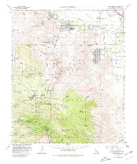
1959 Map of Palm Desert
USGS Topo · Published 1980About this map
The Coachella Valley provides a sharp contrast between irrigated desert agriculture and the rising recreational developments of the late 1950s. Communities like Rancho Mirage, Palm Desert, and Indian Wells are shown during an era of significant growth, alongside the Bermuda Dunes Country Club. Water management is central to the landscape, evidenced by the Coachella Canal and the Coachella Valley Storm Water Channel.
Find a feature on this map
85 named features on this map. Tap any name to fly to it.
Don’t see what you’re looking for? This feature index may not catch every label — zoom into the map to look around manually.
Map Details
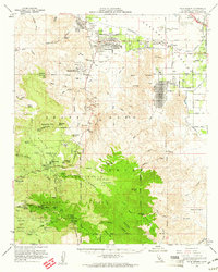
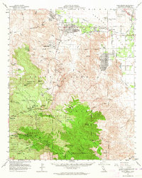
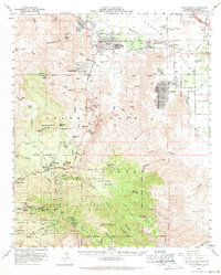
Editions of this 1959 Palm Desert Map
4 editions found
Other maps of this area

1901 · Southern California Sheet No. 1
USGS Topo · 1:250,000

1901 · San Jacinto
USGS Topo · 1:125,000

1903 · Ramona
USGS Topo · 1:125,000

1904 · Indio
USGS Topo · 1:125,000

1904 · Southern California Sheet No. 2
USGS Topo · 1:250,000

1904 · Southern California Sheet No. 1
USGS Topo · 1:250,000

1931 · Vallecito
USGS Topo · 1:125,000

1939 · Warner Springs
USGS Topo · 1:62,500

1940 · Palm Springs
USGS Topo · 1:62,500

1940 · Hemet Reservoir
USGS Topo · 1:62,500