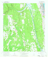
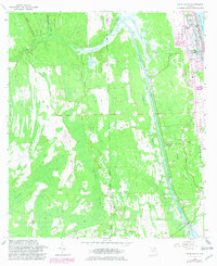
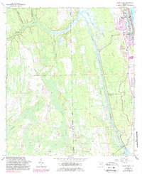
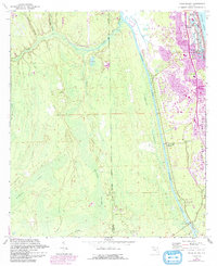
1964 Map of Palm Valley
USGS Topo · Published 1965About this map
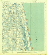
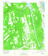
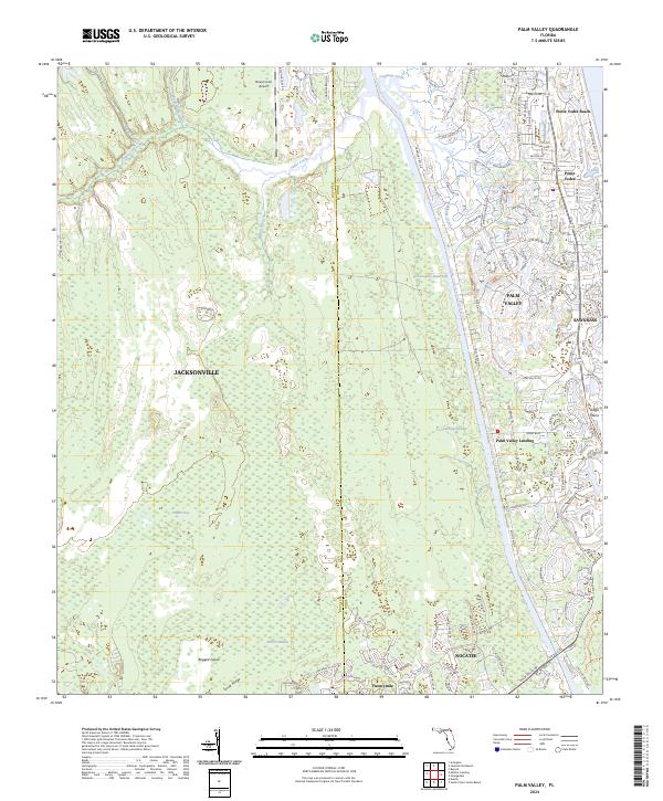
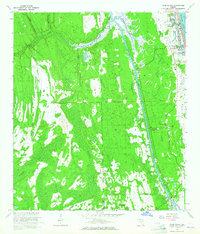
Ponte Vedra Beach and the burgeoning coastal developments of northern St. Johns County are captured here in the mid-1960s, a period of transition before the heavy residential expansion of later decades. The Intracoastal Waterway serves as a dominant north-south artery, separating the coastal strip from the interior marshlands and flatwoods. Further inland, the map preserves the location of older, smaller settlements like Palm Valley Landing and Twentymile, alongside localized landmarks such as the Palm Valley Bridge and the Ponte Vedra-Palm Valley Sch. To the west, the landscape is defined by drainage systems like Pablo Creek and Cedar Swamp Creek, while the eastern side showcases the maritime character of the Atlantic Ocean and Diego Plains. This survey illustrates the early footprint of the Ponte Vedra Golf Course, highlighting the recreational and environmental factors that began to shape the region’s modern layout.
Find a feature on this map
26 named features on this map. Tap any name to fly to it.
Don’t see what you’re looking for? This feature index may not catch every label — zoom into the map to look around manually.
Map Details
Editions of this 1964 Palm Valley Map
5 editions found
Historical Maps of Jacksonville Through Time
4 maps found