1964 Map of Palm Valley
USGS Topo · Published 1989About this map
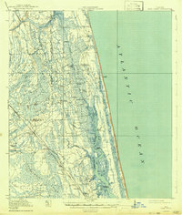
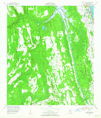
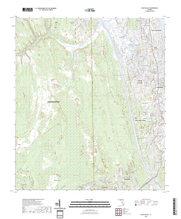
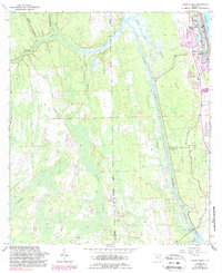
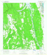
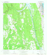
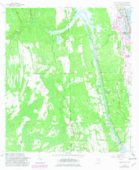
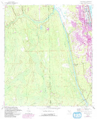
Ponte Vedra Beach and Ponte Vedra stand as established coastal anchors on this mid-century survey of St. Johns County. The landscape is defined by the rigid line of the Intracoastal Waterway, which cuts through a complex system of wetlands including Cabbage Swamp and Durbin Swamp. Further inland, the settlement of Palm Valley and the smaller Twentymile cluster show the slow transition from the developed Atlantic coast toward the interior marshlands. The presence of the Ponte Vedra-Palm Valley Sch and Palm Valley Landing suggests a community reliant on both the waterway and the local road network. Natural features like Diego Plains and Ragged Island remain largely undeveloped, illustrating the extent of the Florida wetlands before the acceleration of late-20th-century suburban sprawl.
Find a feature on this map
25 named features on this map. Tap any name to fly to it.
Don’t see what you’re looking for? This feature index may not catch every label — zoom into the map to look around manually.
Map Details
Editions of this 1964 Palm Valley Map
5 editions found
Historical Maps of Jacksonville Through Time
8 maps found