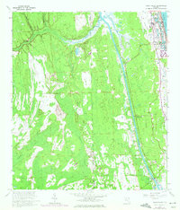
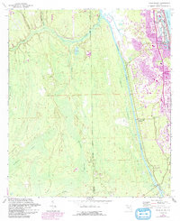
1964 Map of Palm Valley
USGS Topo · Published 1972About this map
The Intracoastal Waterway serves as a central spine through this coastal landscape, separating the developed coastal strip of Ponte Vedra Beach from the extensive wetlands and forests to the west. This mid-century survey captures a period of early suburban expansion in St. Johns County, showing the established Ponte Vedra-Palm Valley Sch and the community of Palm Valley. While residential patterns emerge near the Atlantic, much of the interior remains dominated by intricate drainage networks like Durbin Swamp and Cabbage Creek.
Find a feature on this map
23 named features on this map. Tap any name to fly to it.
Don’t see what you’re looking for? This feature index may not catch every label — zoom into the map to look around manually.
Map Details
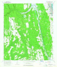
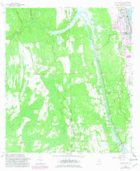
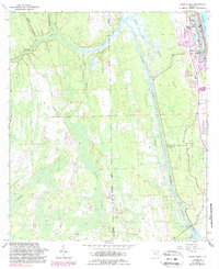
Editions of this 1964 Palm Valley Map
5 editions found
Other maps of this area

1917 · Orange Park
USGS Topo · 1:62,500

1918 · Jacksonville
USGS Topo · 1:62,500

1918 · Orange Park
USGS Topo · 1:62,500

1918 · Palm Valley
USGS Topo · 1:62,500

1918 · Mayport
USGS Topo · 1:62,500

1948 · Jacksonville
USGS Topo · 1:250,000

1948 · Jacksonville Beach
USGS Topo · 1:24,000

1949 · Jacksonville Beach
USGS Topo · 1:24,000

1950 · Arlington
USGS Topo · 1:24,000
1952 · Orangedale
USGS Topo · 1:24,000