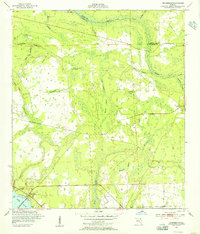
1952 Map of Orangedale
USGS Topo · Published 1956About this map
The St Johns River defines the southwestern edge of this Florida landscape, where the Shands Bridge crosses the water at Orangedale. This 1950s era survey illustrates a transition from the riverfront settlements to the interior wetlands of St. Johns County. Inland, the map reveals a network of water-based landmarks including Blacks Ford and Whites Ford along Trout Creek, suggesting historical crossing points utilized long before modern infrastructure.
Find a feature on this map
28 named features on this map. Tap any name to fly to it.
Don’t see what you’re looking for? This feature index may not catch every label — zoom into the map to look around manually.
Map Details
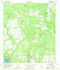
Editions of this 1952 Orangedale Map
2 editions found
Other maps of this area

1917 · Orange Park
USGS Topo · 1:62,500

1918 · Orange Park
USGS Topo · 1:62,500

1918 · Palm Valley
USGS Topo · 1:62,500

1937 · Bakersville
USGS Topo · 1:24,000

1943 · St. Augustine
USGS Topo · 1:62,500

1947 · Bostwick
USGS Topo · 1:50,000

1948 · Jacksonville
USGS Topo · 1:250,000

1949 · Green Cove Springs
USGS Topo · 1:24,000
1949 · Picolata
USGS Topo · 1:24,000
1949 · Bostwick
USGS Topo · 1:62,500