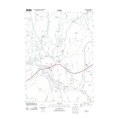
2012 Map of Palmer
USGS Topo · Published 2012About this map
The Ware River and Swift River Reservoir define the hydrographic character of this Massachusetts landscape, where historical villages are linked by a network of local roads and waterways. Industrial and residential clusters like Thorndike, Duckville, and Fentonville reveal the region's development pattern along the river valleys. The area is particularly rich in genealogical resources, with numerous burial sites including Hillcrest Cem, Saints Peter and Paul Cem, and the Palmer Center Cem situated near the town centers.
Find a feature on this map
173 named features on this map. Tap any name to fly to it.
Don’t see what you’re looking for? This feature index may not catch every label — zoom into the map to look around manually.
Map Details
Editions of this 2012 Palmer Map
This is the sole edition of this map. No revisions or reprints were ever made.
Other maps of this area

1887 · Brookfield
USGS Topo · 1:62,500

1887 · Palmer
USGS Topo · 1:62,500

1887 · Belchertown
USGS Topo · 1:62,500

1887 · Barre
USGS Topo · 1:62,500

1889 · Palmer
USGS Topo · 1:62,500

1889 · Barre
USGS Topo · 1:62,500

1890 · Belchertown
USGS Topo · 1:62,500

1890 · Brookfield
USGS Topo · 1:62,500

1893 · Palmer
USGS Topo · 1:62,500

1893 · Belchertown
USGS Topo · 1:62,500