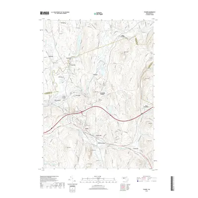
2018 Map of Palmer
USGS Topo · Published 2018About this map
Palmer and the industrial corridors of the Ware River and Quaboag River anchor this topographic study of south-central Massachusetts. The landscape is defined by its early 19th-century manufacturing hubs, where the confluence of three rivers birthed the textile centers of Bondsville, Thorndike, and Three Rivers. These settlements are linked by historic thoroughfares like Main St and Palmer Rd, while the surrounding terrain is marked by significant high points including Mt Dumplin, Chicopee Mtn, and Bald Peak.
Find a feature on this map
176 named features on this map. Tap any name to fly to it.
Don’t see what you’re looking for? This feature index may not catch every label — zoom into the map to look around manually.
Map Details
Editions of this 2018 Palmer Map
This is the sole edition of this map. No revisions or reprints were ever made.
Other maps of this area

1887 · Brookfield
USGS Topo · 1:62,500

1887 · Palmer
USGS Topo · 1:62,500

1887 · Belchertown
USGS Topo · 1:62,500

1887 · Barre
USGS Topo · 1:62,500

1889 · Palmer
USGS Topo · 1:62,500

1889 · Barre
USGS Topo · 1:62,500

1890 · Belchertown
USGS Topo · 1:62,500

1890 · Brookfield
USGS Topo · 1:62,500

1893 · Palmer
USGS Topo · 1:62,500

1893 · Belchertown
USGS Topo · 1:62,500