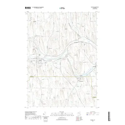
2019 Map of Palmyra
USGS Topo · Published 2019About this map
Hill Cumorah and the surrounding drumlin fields define this landscape south of the historic Erie Canal corridor. The village of Palmyra serves as a central hub, where the canal and CSX rail lines pass through a terrain marked by significant local-history landmarks, including the John Swift Cem and Saint Anne's Roman Catholic Cem. The map reveals a dense network of family-named cemeteries and landmarks like Bear Hill and Johnson Hill, which rise above the wetlands of Huckleberry Swamp.
Find a feature on this map
84 named features on this map. Tap any name to fly to it.
Don’t see what you’re looking for? This feature index may not catch every label — zoom into the map to look around manually.
Map Details
Editions of this 2019 Palmyra Map
This is the sole edition of this map. No revisions or reprints were ever made.
Other maps of this area

1899 · Palmyra
USGS Topo · 1:62,500

1900 · Macedon
USGS Topo · 1:62,500

1900 · Canandaigua
USGS Topo · 1:62,500

1902 · Phelps
USGS Topo · 1:62,500

1902 · Palmyra
USGS Topo · 1:62,500

1903 · Canandaigua
USGS Topo · 1:62,500

1942 · Ontario
USGS Topo · 1:31,680

1942 · Canandaigua
USGS Topo · 1:31,680

1943 · Phelps
USGS Topo · 1:31,680

1943 · Williamson
USGS Topo · 1:31,680