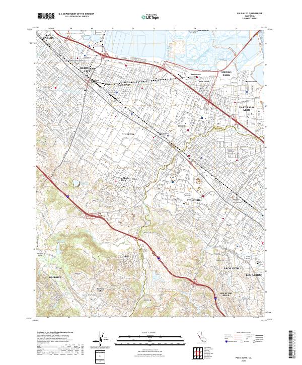
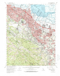
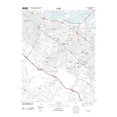
2021 Map of Palo Alto
USGS Topo · Published 2021About this map
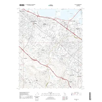
Stanford and the surrounding academic and residential corridors of the Peninsula are documented here in high detail, showcasing the sprawling campus of Stanford University and nearby institutions like Menlo College and Palo Alto University. The landscape transitions from the developed grids of Palo Alto, Menlo Park, and Redwood City into the protected natural reaches of Jasper Ridge and the Santa Cruz Mountains. Infrastructure for the region's water and transit is evident through the path of the Hetch Hetchy Aqueduct and the Union Com rail line.
Find a feature on this map
79 named features on this map. Tap any name to fly to it.
Don’t see what you’re looking for? This feature index may not catch every label — zoom into the map to look around manually.
Map Details
Editions of this 2021 Palo Alto Map
This is the sole edition of this map. No revisions or reprints were ever made.
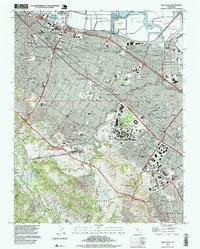
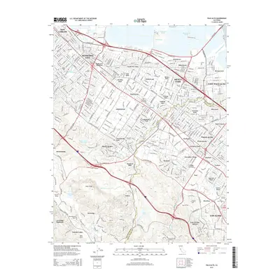
Historical Maps of Redwood City Through Time
15 maps found

1897 Palo Alto
Santa Clara County, CA
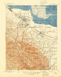
1899 Palo Alto
Santa Clara County, CA

1941 Palo Alto
Santa Clara County, CA

1943 Palo Alto
Santa Clara County, CA

1948 Palo Alto
Santa Clara County, CA
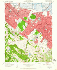
1953 Palo Alto
Santa Clara County, CA
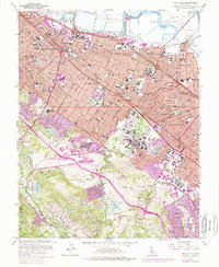
1961 Palo Alto
Santa Clara County, CA
1961 Palo Alto
Santa Clara County, CA

1982 Palo Alto
Santa Clara County, CA

1991 Palo Alto
Santa Clara County, CA
1997 Palo Alto
Santa Clara County, CA
2012 Palo Alto
Santa Clara County, CA
2015 Palo Alto
Santa Clara County, CA
2018 Palo Alto
Santa Clara County, CA
2021 Palo Alto
Santa Clara County, CA