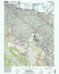
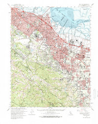
1997 Map of Palo Alto
USGS Topo · Published 1999About this map
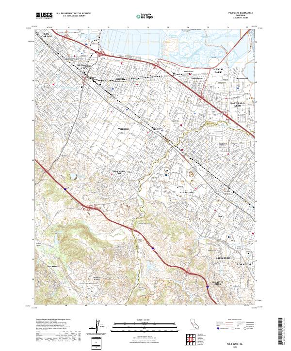
Palo Alto and Redwood City anchor this late 20th-century landscape, illustrating the dense suburbanization and institutional growth of the Peninsula. The map highlights the extensive footprint of Stanford University Medical Center and the Stadium, adjacent to the iconic Linear Accelerator stretching toward the foothills. Along the shore of the San Francisco Bay, a series of Salt Evaporators and marshy features like Ravenswood Slough represent the area's industrial and natural interface before reaching the Dumbarton Bridge.
Find a feature on this map
119 named features on this map. Tap any name to fly to it.
Don’t see what you’re looking for? This feature index may not catch every label — zoom into the map to look around manually.
Map Details
Editions of this 1997 Palo Alto Map
This is the sole edition of this map. No revisions or reprints were ever made.
Historical Maps of Redwood City Through Time
15 maps found

1897 Palo Alto
Santa Clara County, CA
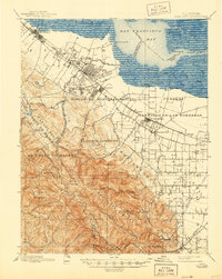
1899 Palo Alto
Santa Clara County, CA

1941 Palo Alto
Santa Clara County, CA

1943 Palo Alto
Santa Clara County, CA

1948 Palo Alto
Santa Clara County, CA
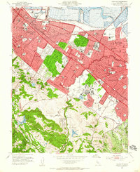
1953 Palo Alto
Santa Clara County, CA
1961 Palo Alto
Santa Clara County, CA
1961 Palo Alto
Santa Clara County, CA

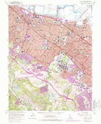
1982 Palo Alto
Santa Clara County, CA

1991 Palo Alto
Santa Clara County, CA
1997 Palo Alto
Santa Clara County, CA
2012 Palo Alto
Santa Clara County, CA
2015 Palo Alto
Santa Clara County, CA
2018 Palo Alto
Santa Clara County, CA
2021 Palo Alto
Santa Clara County, CA