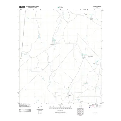
2010 Map of Paloma
USGS Topo · Published 2010About this map
Elm Creek carves a path through this Maverick County landscape, serving as a primary drainage for a region defined by its water management and ranching infrastructure. The area is anchored by the small settlements of Paloma and Darling, which sit alongside the local transportation corridor of Highway 131. The landscape is notably punctuated by numerous man-made water features, including substantial reservoirs like Dunbar Cattle Company Lake and Bandera School Land Lake, which appear essential for livestock in this semi-arid environment.
Find a feature on this map
19 named features on this map. Tap any name to fly to it.
Don’t see what you’re looking for? This feature index may not catch every label — zoom into the map to look around manually.
Map Details
Editions of this 2010 Paloma Map
This is the sole edition of this map. No revisions or reprints were ever made.
Other maps of this area

1896 · Brackett
USGS Topo · 1:125,000

1897 · Brackett
USGS Topo · 1:125,000

1940 · Paloma
USGS Topo · 1:62,500

1940 · Quemado
USGS Topo · 1:62,500

1941 · Tequesquite Creek
USGS Topo · 1:62,500

1944 · Tequesquite Creek
USGS Topo · 1:62,500

1944 · Spofford
USGS Topo · 1:62,500

1958 · Eagle Pass
USGS Topo · 1:250,000

1958 · Del Rio
USGS Topo · 1:250,000

1964 · Del Rio
USGS Topo · 1:250,000