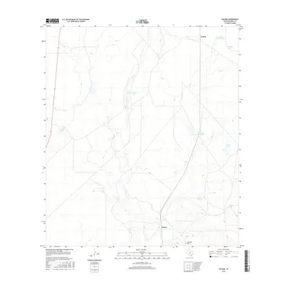
2016 Map of Paloma
USGS Topo · Published 2016About this map
Elm Cr meanders through this Maverick County landscape, shaping a terrain defined by ranching infrastructure and intermittent water sources. The settlement of Paloma sits in the southern portion of the quadrangle, while Darling is located to the north near the Dunbar Cattle Company Lake. This area of South Texas relies heavily on human-made water management, as evidenced by the numerous tanks and lakes named for local families and estates, such as Burr Estate Lake Number 2 and Bandera School Land Lake. The geography is anchored by Consuelo Hill in the south, providing a natural landmark amidst a network of drainage features like Dry Camp Tank and Garcia Tank. The mapping of these specific tanks and cattle company holdings reflects the enduring importance of large-scale land ownership and water rights in this arid region.
Find a feature on this map
14 named features on this map. Tap any name to fly to it.
Don’t see what you’re looking for? This feature index may not catch every label — zoom into the map to look around manually.
Map Details
Editions of this 2016 Paloma Map
This is the sole edition of this map. No revisions or reprints were ever made.
Other maps of this area

1896 · Brackett
USGS Topo · 1:125,000

1897 · Brackett
USGS Topo · 1:125,000

1940 · Paloma
USGS Topo · 1:62,500

1940 · Quemado
USGS Topo · 1:62,500

1941 · Tequesquite Creek
USGS Topo · 1:62,500

1944 · Tequesquite Creek
USGS Topo · 1:62,500

1944 · Spofford
USGS Topo · 1:62,500

1958 · Eagle Pass
USGS Topo · 1:250,000

1958 · Del Rio
USGS Topo · 1:250,000

1964 · Del Rio
USGS Topo · 1:250,000