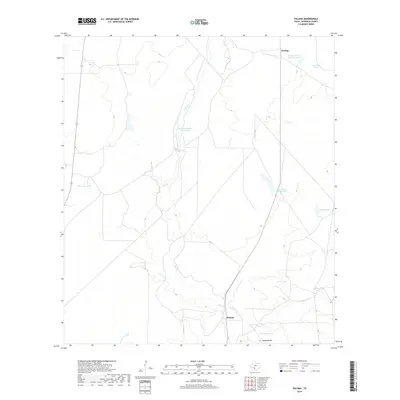
2019 Map of Paloma
USGS Topo · Published 2019About this map
Elm Cr provides the primary drainage through this south Texas landscape, carving a serpentine path through the brushland north of the Rio Grande. The area is defined by a network of water management features essential for ranching, including named catchments such as Dry Camp Tank, Garcia Tank, and Clearwater Tank. These features, along with larger bodies like Bandera School Land Lake and Dunbar Cattle Company Lake, suggest a land use history centered on large-scale cattle operations and estate holdings. The small settlements of Darling and Paloma serve as the primary human touchpoints in this territory. In the southern reach of the quadrangle, Consuelo Hill rises above the surrounding flats near Consuelo Tank, marking a prominent landmark in an otherwise subtle topography of low ridges and creek beds.
Find a feature on this map
14 named features on this map. Tap any name to fly to it.
Don’t see what you’re looking for? This feature index may not catch every label — zoom into the map to look around manually.
Map Details
Editions of this 2019 Paloma Map
This is the sole edition of this map. No revisions or reprints were ever made.
Other maps of this area

1896 · Brackett
USGS Topo · 1:125,000

1897 · Brackett
USGS Topo · 1:125,000

1940 · Paloma
USGS Topo · 1:62,500

1940 · Quemado
USGS Topo · 1:62,500

1941 · Tequesquite Creek
USGS Topo · 1:62,500

1944 · Tequesquite Creek
USGS Topo · 1:62,500

1944 · Spofford
USGS Topo · 1:62,500

1958 · Eagle Pass
USGS Topo · 1:250,000

1958 · Del Rio
USGS Topo · 1:250,000

1964 · Del Rio
USGS Topo · 1:250,000