
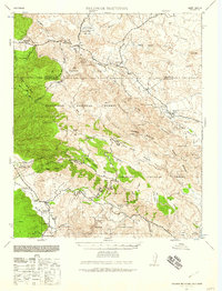
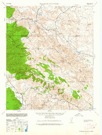
1939 Map of Palomar Mountain
USGS Topo · Published 1957About this map
Palomar Mountain stands as the central anchor of this 1939 landscape, famously noted by the Observatory situated atop its heights. The surrounding terrain is a complex arrangement of high valleys and canyons, including the broad Aguanga Valley and Wilson Valley to the north. This survey illustrates the significant presence of indigenous lands across the region, clearly delineating the Mission Indian Reserve, La Jolla Indian Reservation, and Pauma Indian Res.
Find a feature on this map
52 named features on this map. Tap any name to fly to it.
Don’t see what you’re looking for? This feature index may not catch every label — zoom into the map to look around manually.
Map Details
Editions of this 1939 Palomar Mountain Map
3 editions found
Other maps of this area

1893 · Escondido
USGS Topo · 1:62,500

1901 · Southern California Sheet No. 1
USGS Topo · 1:250,000

1901 · San Jacinto
USGS Topo · 1:125,000

1901 · Elsinore
USGS Topo · 1:125,000

1901 · Escondido
USGS Topo · 1:62,500

1901 · San Luis Rey
USGS Topo · 1:125,000

1903 · Ramona
USGS Topo · 1:125,000

1904 · Southern California Sheet No. 2
USGS Topo · 1:250,000

1904 · Southern California Sheet No. 1
USGS Topo · 1:250,000

1939 · Warner Springs
USGS Topo · 1:62,500