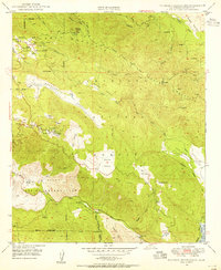
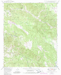
1949 Map of Palomar Observatory
USGS Topo · Published 1955About this map
Palomar Observatory serves as the focal point of this high-altitude landscape, featuring the landmark Hale Telescope (200-inch) alongside its 18-inch and 48-inch counterparts. The terrain is characterized by a series of isolated meadows and high-elevation valleys such as Mendenhall Valley, Dyche Valley, and Pedley Valley, which break the forested expanse of the Cleveland National Forest.
Find a feature on this map
55 named features on this map. Tap any name to fly to it.
Don’t see what you’re looking for? This feature index may not catch every label — zoom into the map to look around manually.
Map Details
Editions of this 1949 Palomar Observatory Map
5 editions found
Other maps of this area

1903 · Ramona
USGS Topo · 1:125,000

1904 · Southern California Sheet No. 2
USGS Topo · 1:250,000

1939 · Warner Springs
USGS Topo · 1:62,500

1939 · Santa Ysabel
USGS Topo · 1:62,500

1939 · Palomar Mountain
USGS Topo · 1:62,500

1942 · Ramona
USGS Topo · 1:62,500

1943 · Santa Ysabel
USGS Topo · 1:62,500

1943 · Warner Springs
USGS Topo · 1:62,500

1947 · Ramona
USGS Topo · 1:62,500

1947 · Santa Ana
USGS Topo · 1:250,000