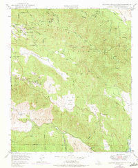
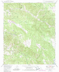
1949 Map of Palomar Observatory
USGS Topo · Published 1973About this map
Palomar Observatory crowns the high ridge of Palomar Mountain, where scientific progress and rugged topography meet. This mid-century record detail both the Hale Telescope (200-inch) and the 18-inch Telescope, highlighting the area's role in global astronomy. Beyond the observatory grounds, the landscape drops into deep drainages and cattle pastures like Bull Pasture and the wide Mendenhall Valley. To the south, the La Jolla Indian Reservation borders the San Luis Rey River, while mining history is preserved at the Ware Mine and the Maple Lode Mine on the slopes of Aguanga Mountain. The network of fire roads, including the Palomar Divide Truck Trail and Lusardi Truck Trail, reflects early forest management within the Cleveland National Forest.
Find a feature on this map
50 named features on this map. Tap any name to fly to it.
Don’t see what you’re looking for? This feature index may not catch every label — zoom into the map to look around manually.
Map Details
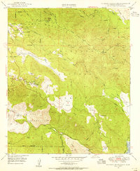
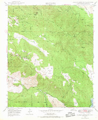
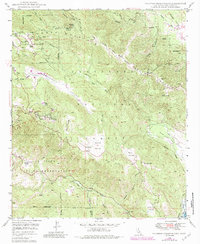
Editions of this 1949 Palomar Observatory Map
5 editions found
Other maps of this area

1903 · Ramona
USGS Topo · 1:125,000

1904 · Southern California Sheet No. 2
USGS Topo · 1:250,000

1939 · Warner Springs
USGS Topo · 1:62,500

1939 · Santa Ysabel
USGS Topo · 1:62,500

1939 · Palomar Mountain
USGS Topo · 1:62,500

1942 · Ramona
USGS Topo · 1:62,500

1943 · Santa Ysabel
USGS Topo · 1:62,500

1943 · Warner Springs
USGS Topo · 1:62,500

1947 · Ramona
USGS Topo · 1:62,500

1947 · Santa Ana
USGS Topo · 1:250,000