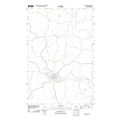
2023 Map of Palouse
USGS Topo · Published 2023About this map
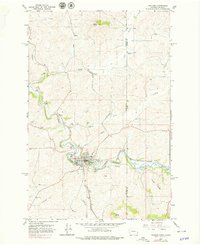
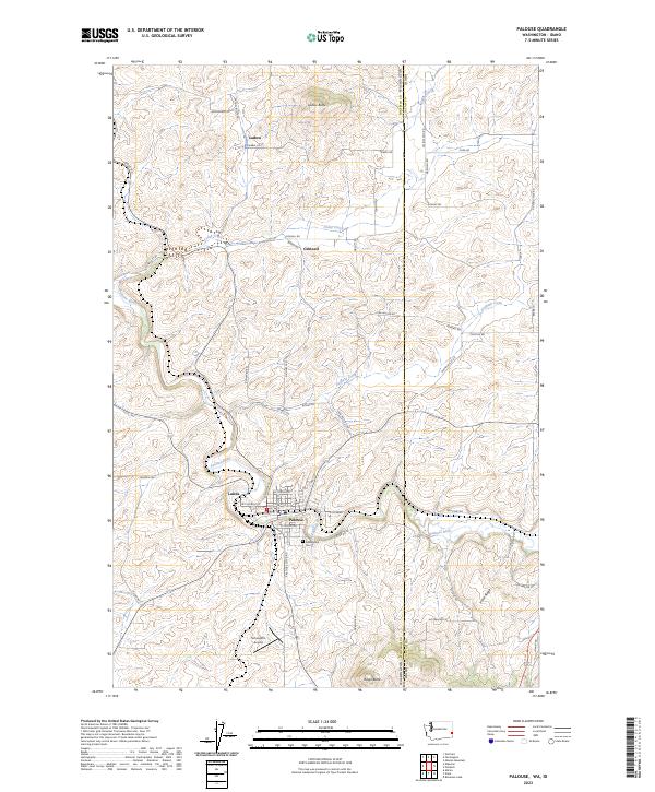
The Palouse River winds through this section of the Inland Northwest, anchoring the town of Palouse and the nearby settlement at Lairds. This 2023 survey illustrates the modern landscape of Whitman County, Washington, and its border with Latah County, Idaho. The terrain is defined by undulating landforms such as Ladow Butte and Viola Ridge, with drainage provided by Cedar Creek and Duffield Creek. Outside the main town center, the map identifies small rural clusters at Ladow and Grinnell, alongside local aviation history at Schoepflin Airport. Genealogists will find the Greenwood Cem located south of the river, while the grid of family-named roads like Kriebel Rd and Nelson Rd traces the long-standing agricultural divisions of this famous wheat-growing region.
Find a feature on this map
57 named features on this map. Tap any name to fly to it.
Don’t see what you’re looking for? This feature index may not catch every label — zoom into the map to look around manually.
Map Details
Editions of this 2023 Palouse Map
This is the sole edition of this map. No revisions or reprints were ever made.
Historical Maps of Palouse Through Time
6 maps found