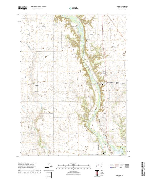
2022 Map of Panther
USGS Topo · Published 2022About this map
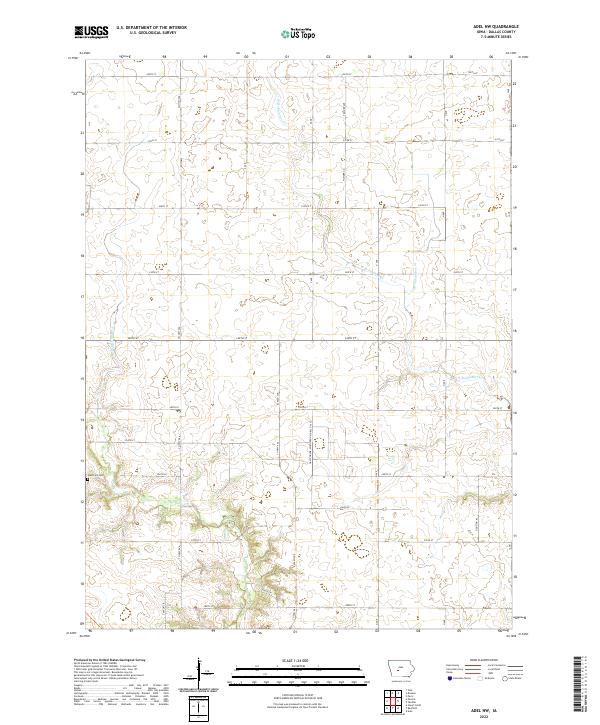
The North Raccoon River carves a winding path through this Dallas County landscape, defining the character of the terrain north of Adel. This area is characterized by its deep-rooted agricultural and community institutions, notably centered around the settlement of Panther. The Panther Creek Church of the Brethren and several distinct burial grounds, such as Jenkins Cem and King Cem, serve as primary landmarks for those tracing the history of local family lineages and pioneer homesteads.
Find a feature on this map
65 named features on this map. Tap any name to fly to it.
Don’t see what you’re looking for? This feature index may not catch every label — zoom into the map to look around manually.
Map Details
Editions of this 2022 Panther Map
This is the sole edition of this map. No revisions or reprints were ever made.
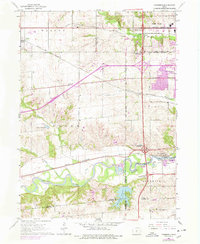
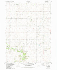
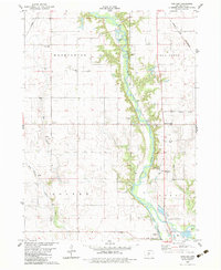
Historical Maps of Adel Through Time
6 maps found
Featured Locations
- Adel Township, IA
- Dallas Center, IA
- Sugar Grove Township, IA
- Washington Township, IA
- Adel, Adel Township