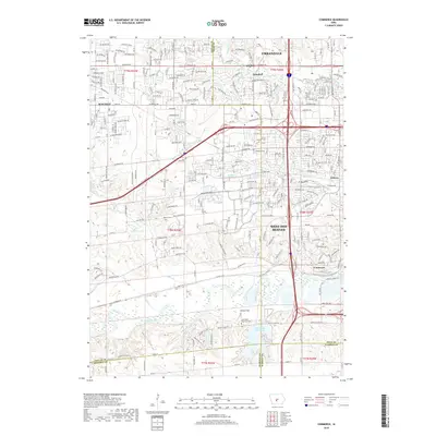
1965 Map of Commerce
USGS Topo · Published 1977About this map
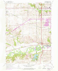
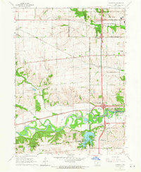
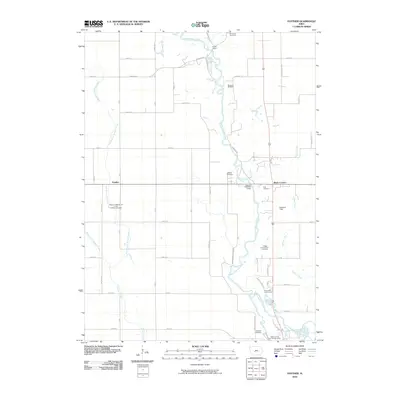
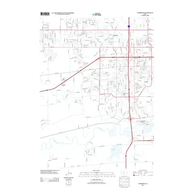
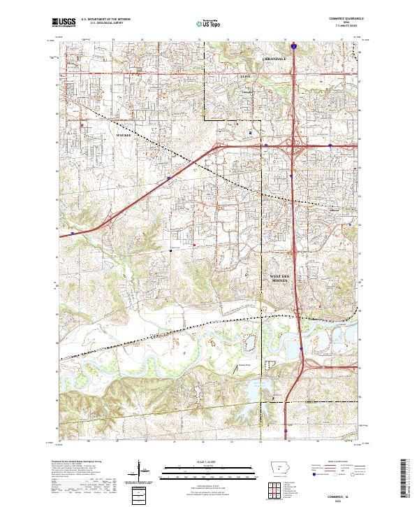
The Raccoon River meanders across this landscape, defining the southern border of the quadrangle where it meets Walnut Woods State Park. The mid-1960s survey, updated with 1976 revisions, shows the suburban edges of Des Moines pushing westward into the rural townships of Webster, Walnut, and Boone. This transition is marked by a complex network of transportation, including the crossing of the Chicago Rock Island and Pacific and the Chicago and North Western railroads.
Find a feature on this map
50 named features on this map. Tap any name to fly to it.
Don’t see what you’re looking for? This feature index may not catch every label — zoom into the map to look around manually.
Map Details
Editions of this 1965 Commerce Map
2 editions found
Historical Maps of West Des Moines Through Time
18 maps found
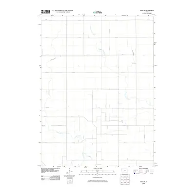
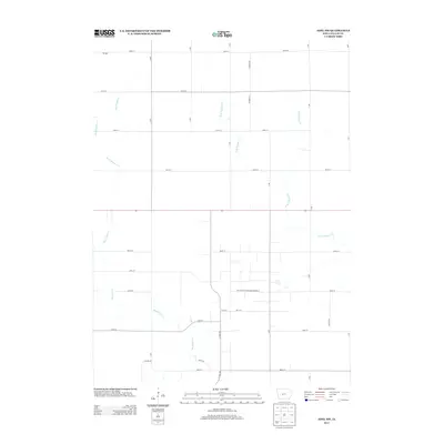
1965 Commerce
Dallas County, IA
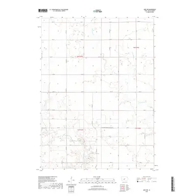
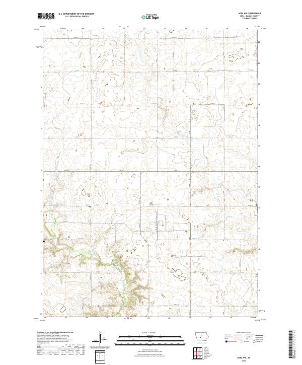
1982 Adel NW
Dallas County, IA
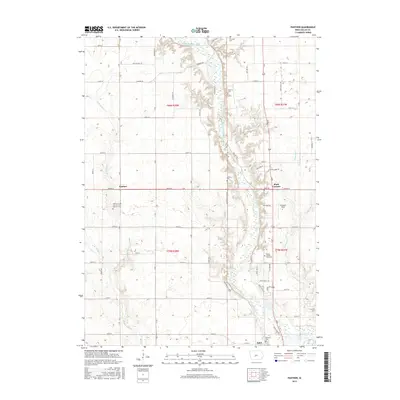
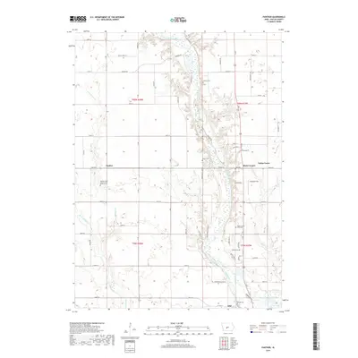
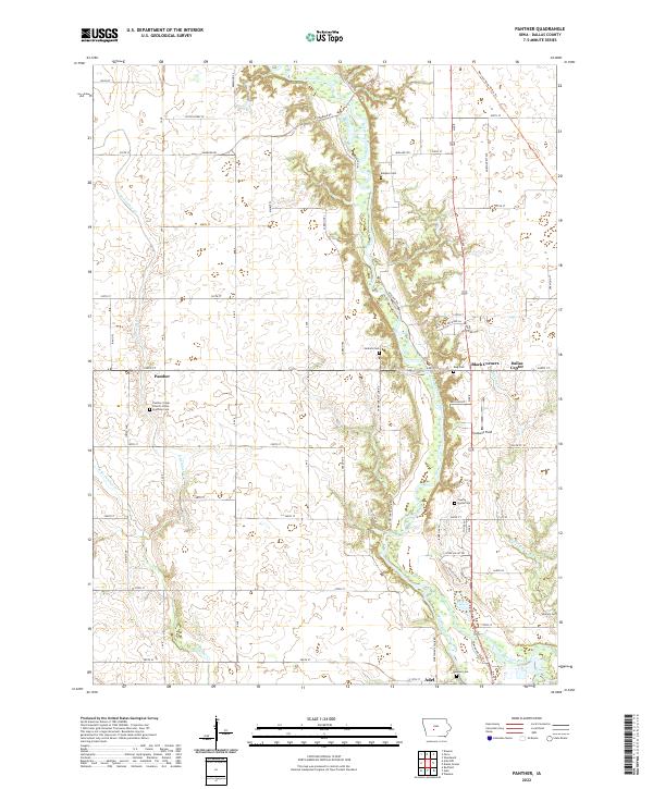
1982 Panther
Dallas County, IA
2010 Adel NW
Dallas County, IA
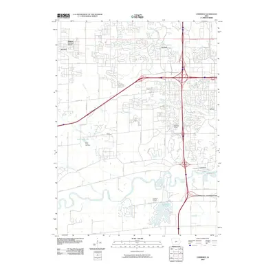
2010 Commerce
Dallas County, IA
2010 Panther
Dallas County, IA
2013 Adel NW
Dallas County, IA
2013 Commerce
Dallas County, IA
2013 Panther
Dallas County, IA
2015 Adel NW
Dallas County, IA
2015 Commerce
Dallas County, IA
2015 Panther
Dallas County, IA
2018 Adel NW
Dallas County, IA
2018 Commerce
Dallas County, IA
2018 Panther
Dallas County, IA
2022 Adel NW
Dallas County, IA
2022 Commerce
Dallas County, IA
2022 Panther
Dallas County, IA