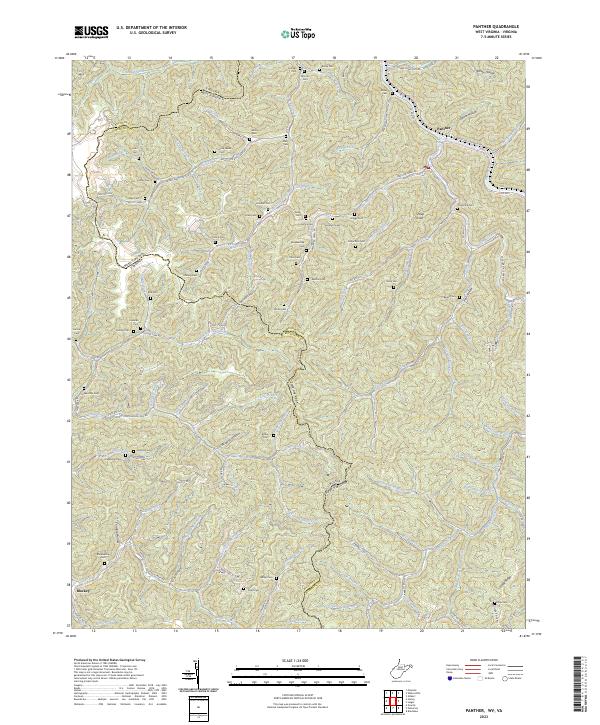
2001 Map of Panther
USGS Topo · Published 2003About this map
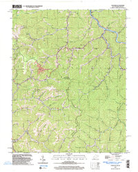
Panther sits at a strategic bend in the Tug river system, where the Norfolk and Western railway snakes through the narrow valleys of McDowell Co at the turn of the 21st century. This region is defined by a dense network of mountain hollows and the coal-rich seams that drove local industry, indicated by numerous Mines and Mine symbols scattered across the slopes. The map captures a complex cultural geography where family lineages are deeply etched into the land, evidenced by an extraordinary density of private burial grounds such as the Robertson Cem, Justice Cem, and Mullins Cem.
Find a feature on this map
81 named features on this map. Tap any name to fly to it.
Don’t see what you’re looking for? This feature index may not catch every label — zoom into the map to look around manually.
Map Details
Editions of this 2001 Panther Map
This is the sole edition of this map. No revisions or reprints were ever made.
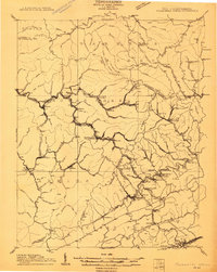
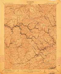
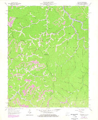
Historical Maps of Panther Through Time
5 maps found