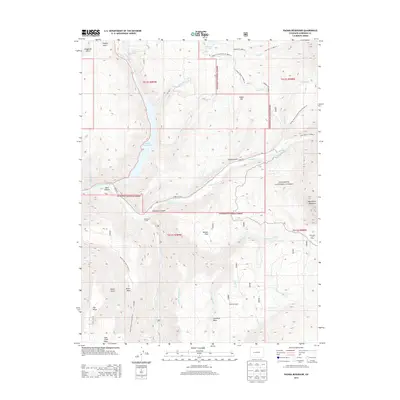
2013 Map of Paonia Reservoir
USGS Topo · Published 2013About this map
Paonia Reservoir serves as the central hydrographic feature of this landscape, where the Muddy Cr and Anthracite Cr converge within the Gunnison National Forest. The map documents a high-country environment defined by livestock movement and seasonal occupation, notably featuring the Munsey Ruby Stock Driveway Trl 8831.0 and Snowshoe Cow Camp. Pockets of human habitation like the Hotchkiss Ranch and Snowshoe Cabin are situated among prominent geological landmarks such as Marcellina Mountain and Raven Mesa. The presence of the Norris Ditch and Fillmore Ditch indicates a sophisticated irrigation network developed to manage water flow from Williams Cr and other tributaries. This survey captures a specific intersection of public forest management, ranching heritage, and water resource infrastructure in the high mesas of Gunnison County.
Find a feature on this map
54 named features on this map. Tap any name to fly to it.
Don’t see what you’re looking for? This feature index may not catch every label — zoom into the map to look around manually.
Map Details
Editions of this 2013 Paonia Reservoir Map
This is the sole edition of this map. No revisions or reprints were ever made.
Other maps of this area

1888 · Anthracite
USGS Topo · 1:62,500

1889 · Anthracite
USGS Topo · 1:62,500

1893 · Anthracite
USGS Topo · 1:62,500

1894 · Anthracite
USGS Topo · 1:62,500

1938 · Mt. Gunnison
USGS Topo · 1:48,000

1945 · Mount Gunnison
USGS Topo · 1:62,500

1956 · Montrose
USGS Topo · 1:250,000

1957 · Leadville
USGS Topo · 1:250,000

1959 · Leadville
USGS Topo · 1:250,000

1959 · Montrose
USGS Topo · 1:250,000