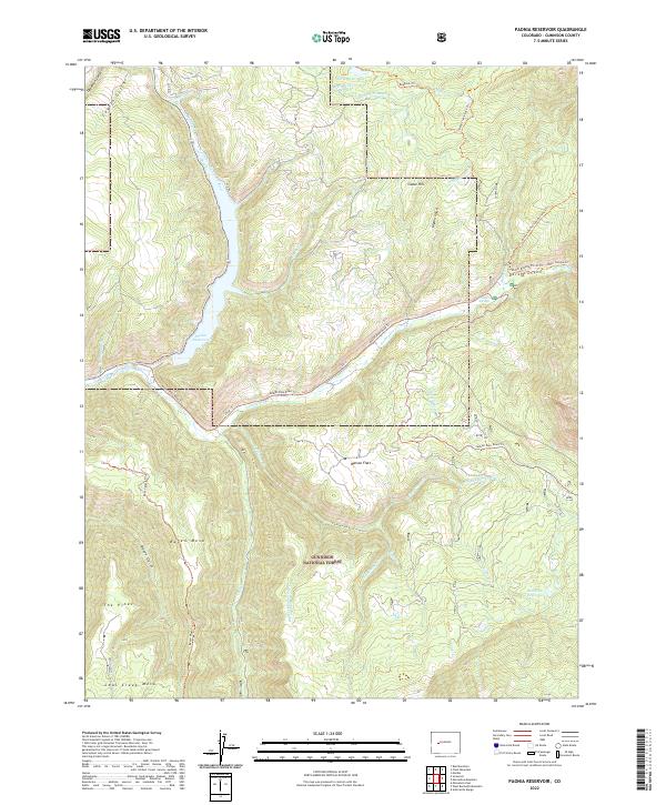
2022 Map of Paonia Reservoir
USGS Topo · Published 2022About this map
Paonia Reservoir serves as a central hub for water management within the high-elevation reach of the North Fork Gunnison River. This portion of the Gunnison National Forest is defined by a complex network of agricultural irrigation and high-country travel routes, including the Elkhorn Stomp Ditch and the Fillmore Ditch. These systems imply a legacy of water rights and ranching infrastructure necessary for sustaining the lower valleys.
Find a feature on this map
46 named features on this map. Tap any name to fly to it.
Don’t see what you’re looking for? This feature index may not catch every label — zoom into the map to look around manually.
Map Details
Editions of this 2022 Paonia Reservoir Map
This is the sole edition of this map. No revisions or reprints were ever made.
Other maps of this area

1888 · Anthracite
USGS Topo · 1:62,500

1889 · Anthracite
USGS Topo · 1:62,500

1893 · Anthracite
USGS Topo · 1:62,500

1894 · Anthracite
USGS Topo · 1:62,500

1938 · Mt. Gunnison
USGS Topo · 1:48,000

1945 · Mount Gunnison
USGS Topo · 1:62,500

1956 · Montrose
USGS Topo · 1:250,000

1957 · Leadville
USGS Topo · 1:250,000

1959 · Leadville
USGS Topo · 1:250,000

1959 · Montrose
USGS Topo · 1:250,000