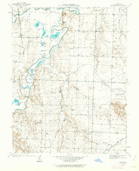
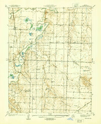
1934 Map of Papinsville
USGS Topo · Published 1955About this map
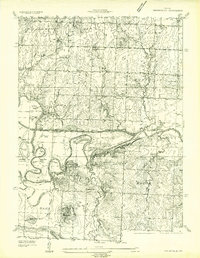
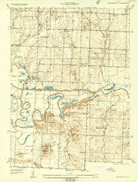
Papinsville and the surrounding river bottomlands are defined by the complex, meandering path of the Osage River in this 1934 survey. The landscape reflects a transition from high prairie to a dense network of sloughs and bends, notably where the Mariais Des Cygnes Drainage Ditch cuts across the floodplain to manage the seasonal waters of the Mariais Des Cygnes. For genealogists and local historians, the sheet preserves the locations of several one-room schoolhouses, including Fairmont Sch and Belvoir Sch, and the historical significance of the Old Harmony Mission Site. The terrain is marked by distinctive elevations like Blue Mound and Pleasant Gap, which stand in contrast to the numerous oxbow lakes and named river features such as Apple Garth Bend and Logan Lake that dominate the central and southern portions of the quadrangle.
Find a feature on this map
85 named features on this map. Tap any name to fly to it.
Don’t see what you’re looking for? This feature index may not catch every label — zoom into the map to look around manually.
Map Details
Editions of this 1934 Papinsville Map
2 editions found
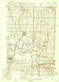
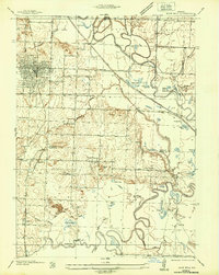
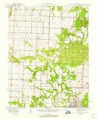
Other maps of this area

1886 · Nevada
USGS Topo · 1:125,000

1887 · Butler
USGS Topo · 1:125,000

1894 · Butler
USGS Topo · 1:125,000

1894 · Nevada
USGS Topo · 1:125,000
1934 · Papinsville
USGS Topo · 1:24,000
1934 · Rockville
USGS Topo · 1:24,000
1936 · Rich Hill
USGS Topo · 1:24,000
1938 · Horton
USGS Topo · 1:24,000
1939 · Horton
USGS Topo · 1:24,000
1939 · Eldorado Springs North
USGS Topo · 1:24,000