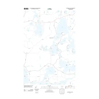
2013 Map of Papoose Lake
USGS Topo · Published 2013About this map
Katinka Village sits at the heart of this Northwoods landscape, surrounded by an intricate network of glacial lakes and winding waterways. The 2013 survey illustrates a region defined by recreational and seasonal settlements, such as Camp Jorn on the shores of Rest Lake. Navigation through the dense forest is facilitated by a web of local roads and paths, including Papoose Landing Rd and Island View Rd, which provide access to secluded water bodies like Hiawatha Lake and Noseeum Lake.
Find a feature on this map
86 named features on this map. Tap any name to fly to it.
Don’t see what you’re looking for? This feature index may not catch every label — zoom into the map to look around manually.
Map Details
Editions of this 2013 Papoose Lake Map
This is the sole edition of this map. No revisions or reprints were ever made.
Other maps of this area

1939 · Trout Lake
USGS Topo · 1:48,000

1939 · Winchester
USGS Topo · 1:48,000

1946 · Winchester
USGS Topo · 1:48,000

1946 · Trout Lake
USGS Topo · 1:48,000

1949 · Trout Lake
USGS Topo · 1:48,000

1955 · Marenisco
USGS Topo · 1:62,500

1955 · Boulder Junction
USGS Topo · 1:62,500

1955 · Winchester
USGS Topo · 1:62,500

1955 · Wakefield
USGS Topo · 1:62,500

1958 · Iron River
USGS Topo · 1:250,000