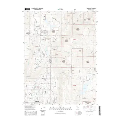
2015 Map of Paradise East
USGS Topo · Published 2015About this map
The town of Paradise and the surrounding Ridge communities are documented here in the years prior to the 2018 Camp Fire. This 2015 survey details the dense suburban-forest interface, showing the street networks of Paradise Pines and Magalia as they existed alongside the deep canyons of the W Br Feather River. For family historians, the map identifies several key burial grounds, including the Coutolenc Cemetery, Nimshew Cemetery, and Paradise Cemetery, providing clear spatial context for local heritage.
Find a feature on this map
159 named features on this map. Tap any name to fly to it.
Don’t see what you’re looking for? This feature index may not catch every label — zoom into the map to look around manually.
Map Details
Editions of this 2015 Paradise East Map
This is the sole edition of this map. No revisions or reprints were ever made.
Other maps of this area

1888 · Bidwell Bar
USGS Topo · 1:125,000

1891 · Bidwell Bar
USGS Topo · 1:125,000

1891 · Chico
USGS Topo · 1:125,000

1893 · Chico
USGS Topo · 1:125,000

1893 · Bidwell Bar
USGS Topo · 1:125,000

1895 · Bidwell Bar
USGS Topo · 1:125,000

1895 · Chico
USGS Topo · 1:125,000

1897 · Bidwell Bar
USGS Topo · 1:125,000

1912 · Clear Creek
USGS Topo · 1:31,680

1942 · Oroville
USGS Topo · 1:62,500