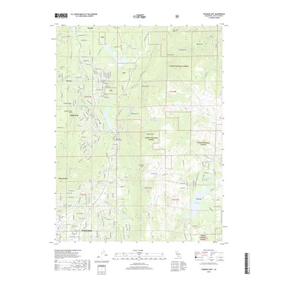
2018 Map of Paradise East
USGS Topo · Published 2018About this map
Paradise and Magalia center this landscape on the ridge between the Middle Butte Cr and the W Br Feather River. This 2018 survey documents the intricate residential street networks and wildland-urban interface prior to the transformative events of late 2014. The terrain is defined by deep incisions like Slaughterhouse Ravine and Fortyniner Gulch, while the northern reach shows the industrial presence of the De Sabla Powerhouse near DeSabla. To the east, the landscape transitions into the protected timberlands of the Lassen National Forest, where features like Sawmill Peak and Whiskey Flat reflect the area's long association with natural resource extraction. Genealogists can find several local burial grounds including Paradise Cem, Magalia Cem, and the more remote Nimshew Cem near the settlement of Nimshew.
Find a feature on this map
189 named features on this map. Tap any name to fly to it.
Don’t see what you’re looking for? This feature index may not catch every label — zoom into the map to look around manually.
Map Details
Editions of this 2018 Paradise East Map
This is the sole edition of this map. No revisions or reprints were ever made.
Other maps of this area

1888 · Bidwell Bar
USGS Topo · 1:125,000

1891 · Bidwell Bar
USGS Topo · 1:125,000

1891 · Chico
USGS Topo · 1:125,000

1893 · Chico
USGS Topo · 1:125,000

1893 · Bidwell Bar
USGS Topo · 1:125,000

1895 · Bidwell Bar
USGS Topo · 1:125,000

1895 · Chico
USGS Topo · 1:125,000

1897 · Bidwell Bar
USGS Topo · 1:125,000

1912 · Clear Creek
USGS Topo · 1:31,680

1942 · Oroville
USGS Topo · 1:62,500