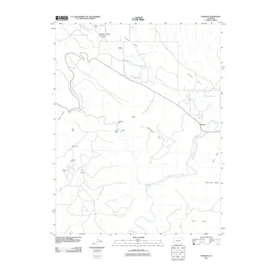
2011 Map of Paradox
USGS Topo · Published 2011About this map
The Paradox Valley landscape is defined by its unusual geology, where the Dolores River cuts perpendicularly across the valley floor rather than following its length. This 2011 survey reveals a region deeply tied to its mineral history, with numerous mining claims dotting the mesas and canyon walls. Heavy concentration of industrial sites such as the Radium King Mine, Saint Patrick Mine, and Cashin Mine underscore the area's legacy of uranium and copper extraction. Settlement is concentrated at Paradox in the northwest and Bedrock where the river enters the valley, connected by a network of rural roads like Paradox Rd and Y 9 Rd. The surrounding terrain of Ray Mesa, Davis Mesa, and Nyswonger Mesa rises sharply from the valley floor, creating the isolated geography that characterizes this part of Montrose County.
Find a feature on this map
43 named features on this map. Tap any name to fly to it.
Don’t see what you’re looking for? This feature index may not catch every label — zoom into the map to look around manually.
Map Details
Editions of this 2011 Paradox Map
This is the sole edition of this map. No revisions or reprints were ever made.
Other maps of this area

1885 · La Sal
USGS Topo · 1:250,000

1916 · Paradox Valley
USGS Topo · 1:125,000

1922 · Paradox Valley
USGS Topo · 1:125,000

1948 · Roc Creek
USGS Topo · 1:24,000

1948 · Bull Canyon
USGS Topo · 1:24,000

1948 · Paradox
USGS Topo · 1:24,000

1949 · Bull Canyon
USGS Topo · 1:24,000

1949 · Davis Mesa
USGS Topo · 1:24,000

1949 · Paradox
USGS Topo · 1:24,000

1949 · Roc Creek
USGS Topo · 1:24,000