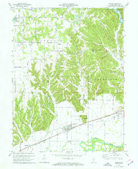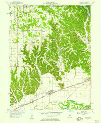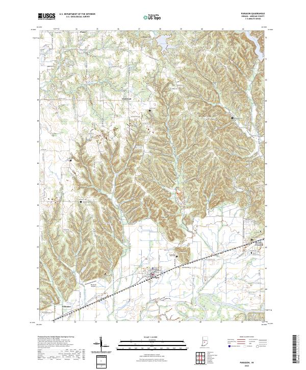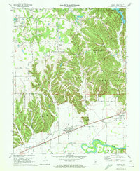
1970 Map of Paragon
USGS Topo · Published 1972About this map
Paragon sits at the base of a deeply dissected upland in Morgan County, where the valley of the White River meets the winding Fall Creek. In the early 1970s, the community was a central hub for the surrounding township lands of Ray, Ashland, and Jefferson. The landscape transitions from the flat, river-bottom agriculture near the Landing Strip to the high, wooded ridges of Big Hurricane Hill and Gallimore Hill. This topographic variation dictated the settlement patterns of the era, with small communities like Plano and Wakeland established along the ridge-top roads and creek valleys. Evidence of rural community life is scattered throughout the hills, marked by numerous small burial grounds and houses of worship such as Olive Ch and Ratts Cem. The Penn Central rail line tracks through the southern portion of the quadrangle, passing through Whitaker and following the river's northern bank toward Browns Crossing.
Find a feature on this map
47 named features on this map. Tap any name to fly to it.
Don’t see what you’re looking for? This feature index may not catch every label — zoom into the map to look around manually.
Map Details
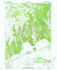
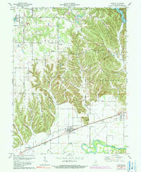
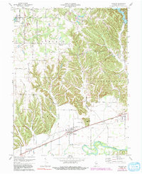
Editions of this 1970 Paragon Map
5 editions found