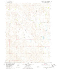
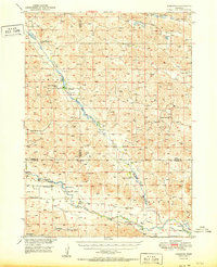
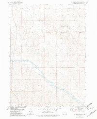
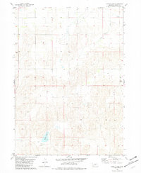
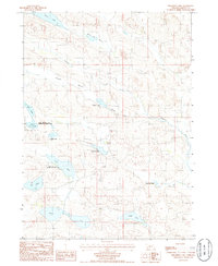
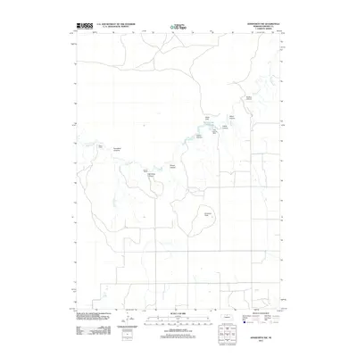
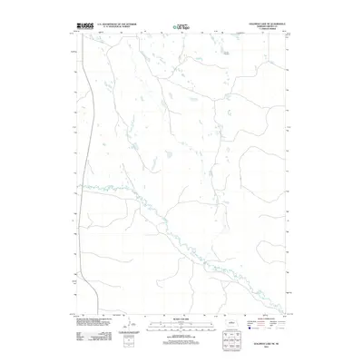
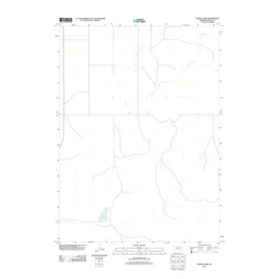
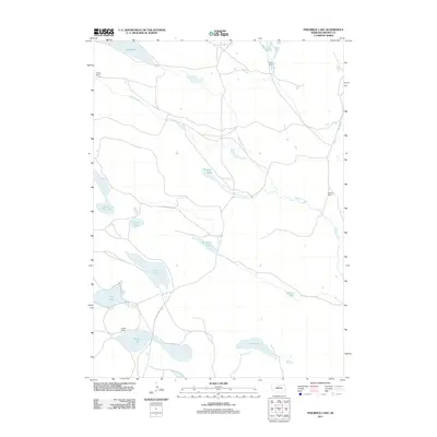
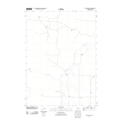
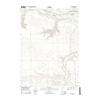
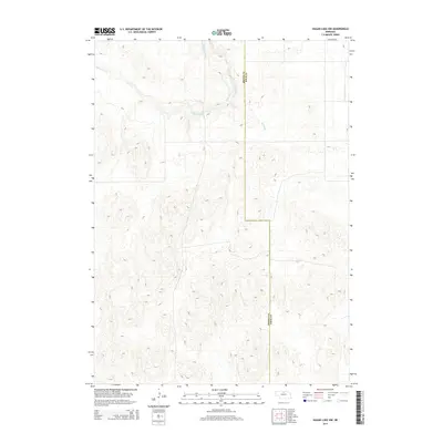
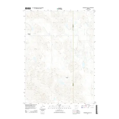
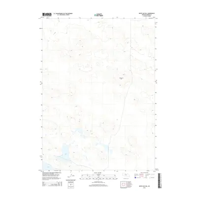
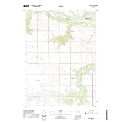
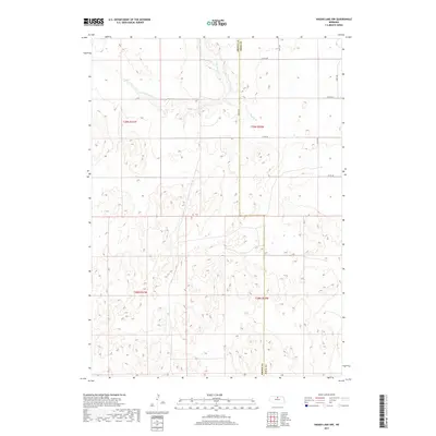
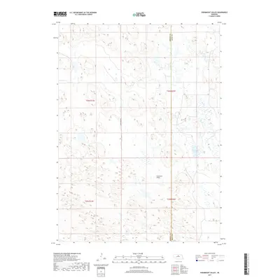
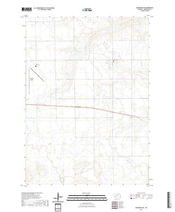
1981 Map of Paramount Valley
USGS Topo · Published 1982About this map
The vast Nebraska Sandhills region is defined here by the wide basin of Paramount Valley, which straddles the boundary of Brown and Rock Counties. In the early 1980s, the landscape was primarily characterized by isolated cattle operations and the essential local infrastructure that supported them, such as the Paramount Valley School. A network of family-named holdings, including the Babcock Ranch, Doyle Hollenbeck Ranch, and Barta Brothers Ranch, demonstrates the sparse but established settlement pattern of the area.
Find a feature on this map
15 named features on this map. Tap any name to fly to it.
Don’t see what you’re looking for? This feature index may not catch every label — zoom into the map to look around manually.
Map Details
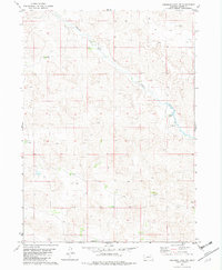
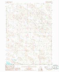
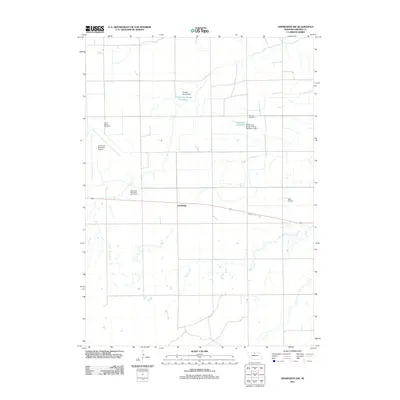
Editions of this 1981 Paramount Valley Map
This is the sole edition of this map. No revisions or reprints were ever made.
Historical Maps of Johnsons Corner Through Time
89 maps found
1949 Dutch Creek
Brown County, NE

1949 Koshopah
Brown County, NE
1950 Bassett NW
Brown County, NE
1950 Dutch Creek
Brown County, NE
1951 Koshopah
Brown County, NE
1951 Moon Lake
Brown County, NE
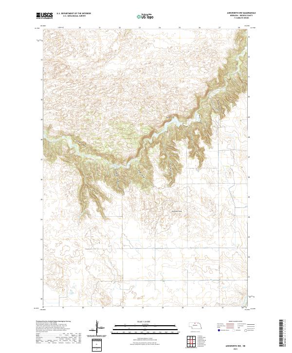
1954 Ainsworth NW
Brown County, NE
1954 Ainsworth SW
Brown County, NE
1981 Paramount Valley
Brown County, NE
1982 Goldman Lake NE
Brown County, NE
1982 Goldman Lake NW
Brown County, NE
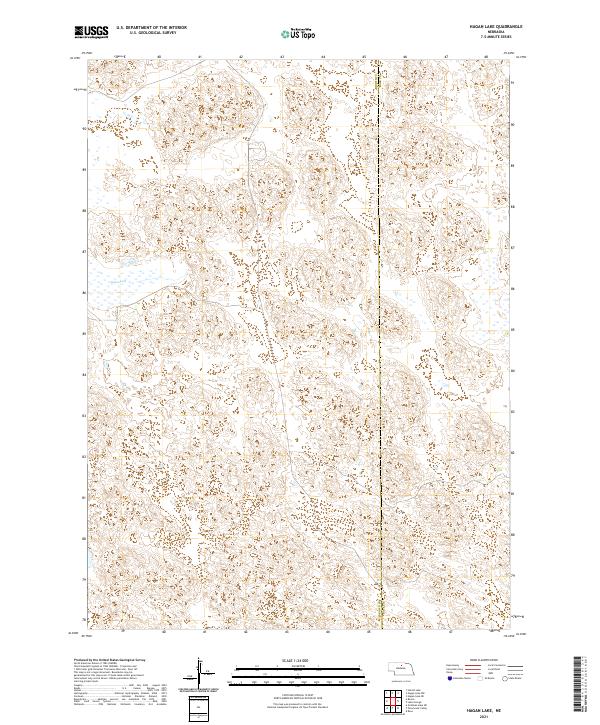
1982 Hagan Lake
Brown County, NE
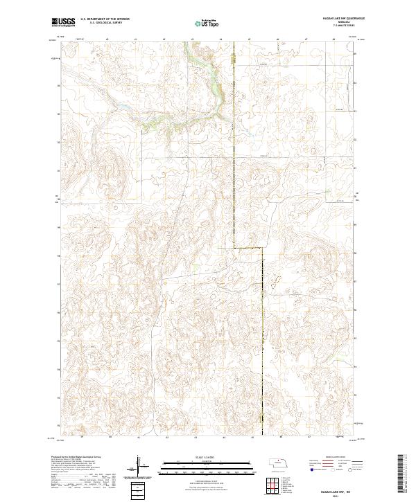
1982 Hagan Lake NW
Brown County, NE
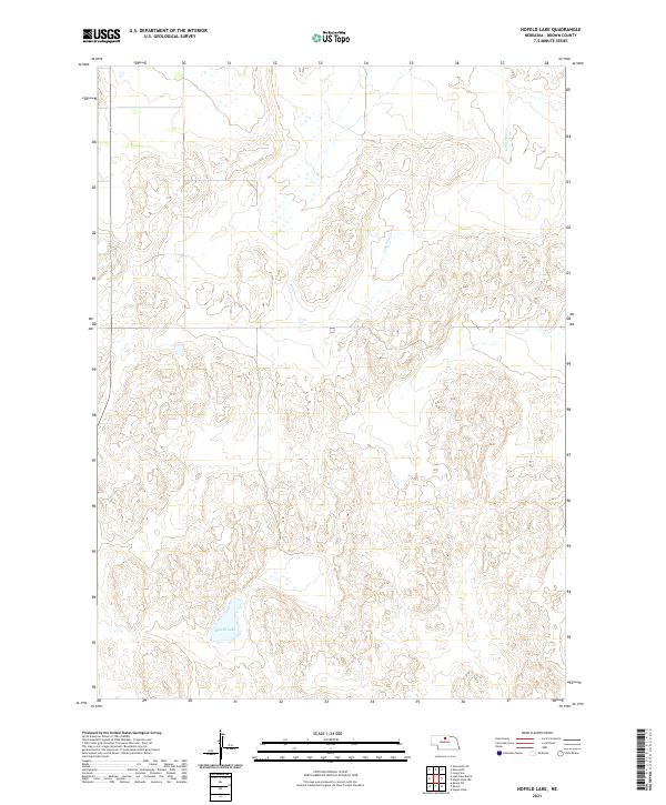
1982 Hofeld Lake
Brown County, NE
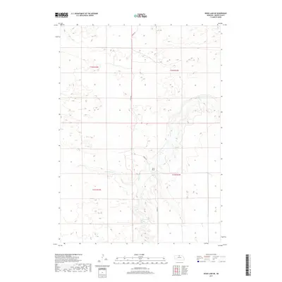
1982 Lost Lake Ranch
Brown County, NE
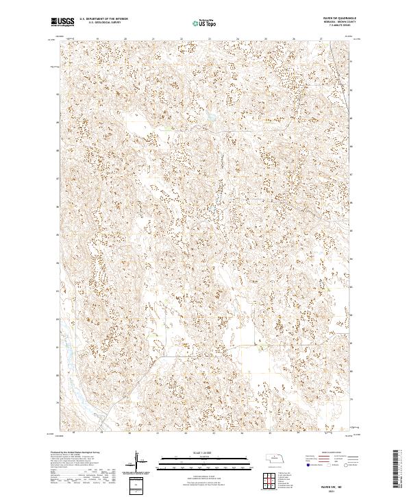
1982 Raven
Brown County, NE
1982 Raven SW
Brown County, NE
1985 Philbrick Lake
Brown County, NE
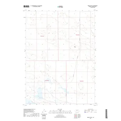
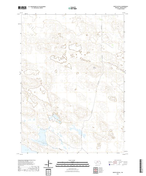
1985 White Cap Hill
Brown County, NE
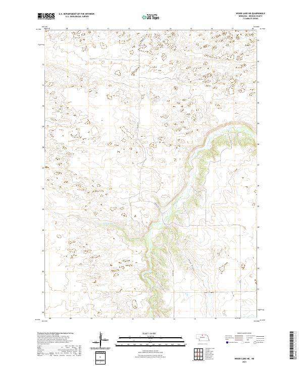
1985 Wood Lake NE
Brown County, NE
1986 Koshopah NE
Brown County, NE
2011 Ainsworth NW
Brown County, NE
2011 Ainsworth SW
Brown County, NE
2011 Bassett NW
Brown County, NE
2011 Dutch Creek
Brown County, NE
2011 Goldman Lake NE
Brown County, NE
2011 Goldman Lake NW
Brown County, NE
2011 Hagan Lake
Brown County, NE
2011 Hagan Lake NW
Brown County, NE
2011 Hofeld Lake
Brown County, NE
2011 Koshopah NE
Brown County, NE
2011 Lost Lake Ranch
Brown County, NE
2011 Paramount Valley
Brown County, NE
2011 Philbrick Lake
Brown County, NE
2011 Raven
Brown County, NE
2011 Raven SW
Brown County, NE
2011 White Cap Hill
Brown County, NE
2011 Wood Lake NE
Brown County, NE
2014 Ainsworth NW
Brown County, NE
2014 Ainsworth SW
Brown County, NE
2014 Bassett NW
Brown County, NE
2014 Dutch Creek
Brown County, NE
2014 Goldman Lake NE
Brown County, NE
2014 Goldman Lake NW
Brown County, NE
2014 Hagan Lake
Brown County, NE
2014 Hagan Lake NW
Brown County, NE
2014 Hofeld Lake
Brown County, NE
2014 Koshopah NE
Brown County, NE
2014 Lost Lake Ranch
Brown County, NE
2014 Paramount Valley
Brown County, NE
2014 Philbrick Lake
Brown County, NE
2014 Raven
Brown County, NE
2014 Raven SW
Brown County, NE
2014 White Cap Hill
Brown County, NE

2014 Wood Lake NE
Brown County, NE
2017 Ainsworth NW
Brown County, NE
2017 Ainsworth SW
Brown County, NE
2017 Bassett NW
Brown County, NE
2017 Dutch Creek
Brown County, NE
2017 Goldman Lake NE
Brown County, NE
2017 Goldman Lake NW
Brown County, NE
2017 Hagan Lake
Brown County, NE
2017 Hagan Lake NW
Brown County, NE
2017 Hofeld Lake
Brown County, NE
2017 Koshopah NE
Brown County, NE
2017 Lost Lake Ranch
Brown County, NE
2017 Paramount Valley
Brown County, NE
2017 Philbrick Lake
Brown County, NE
2017 Raven
Brown County, NE
2017 Raven SW
Brown County, NE
2017 White Cap Hill
Brown County, NE
2017 Wood Lake NE
Brown County, NE
2021 Ainsworth NW
Brown County, NE
2021 Ainsworth SW
Brown County, NE
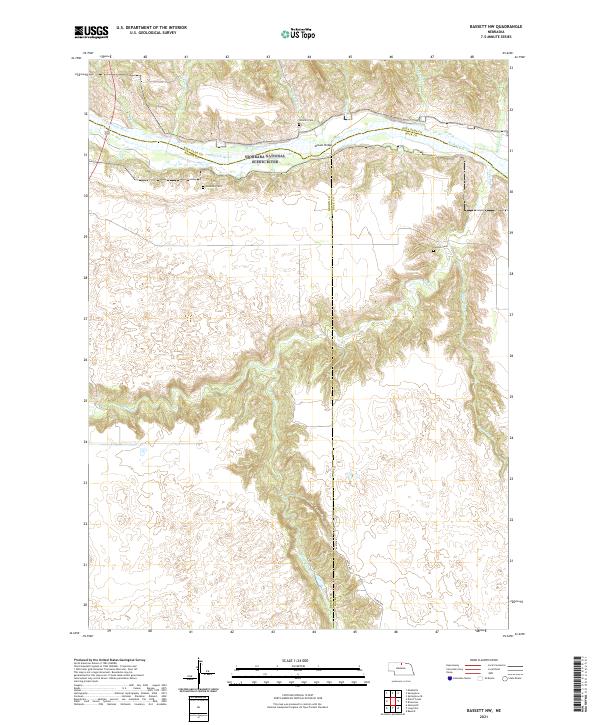
2021 Bassett NW
Brown County, NE
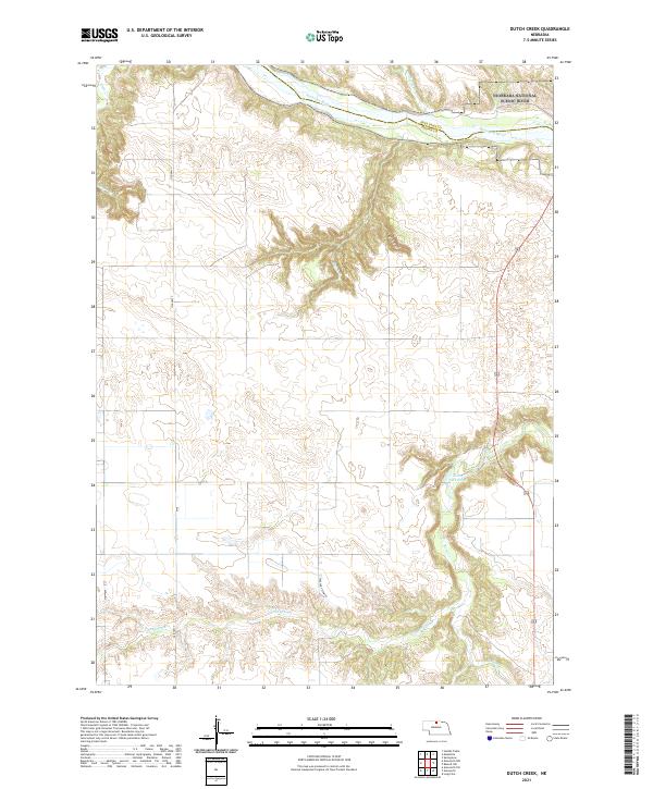
2021 Dutch Creek
Brown County, NE
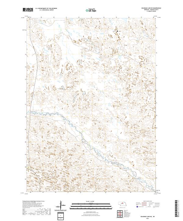
2021 Goldman Lake NE
Brown County, NE
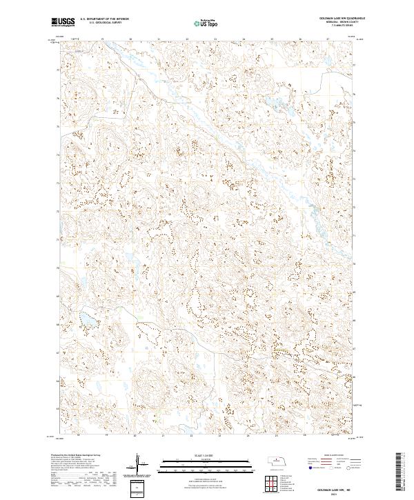
2021 Goldman Lake NW
Brown County, NE
2021 Hagan Lake
Brown County, NE
2021 Hagan Lake NW
Brown County, NE
2021 Hofeld Lake
Brown County, NE
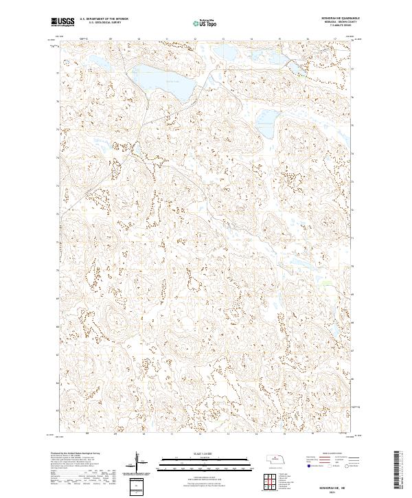
2021 Koshopah NE
Brown County, NE
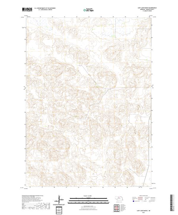
2021 Lost Lake Ranch
Brown County, NE
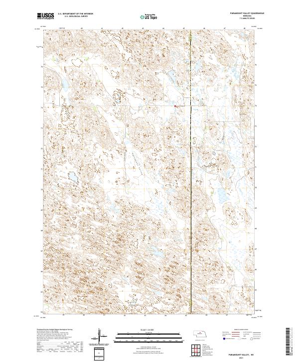
2021 Paramount Valley
Brown County, NE
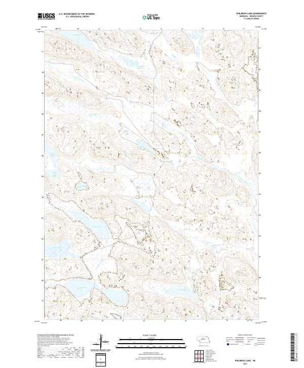
2021 Philbrick Lake
Brown County, NE
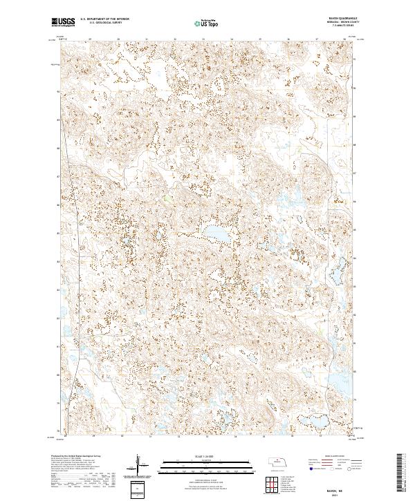
2021 Raven
Brown County, NE
2021 Raven SW
Brown County, NE
2021 White Cap Hill
Brown County, NE
2021 Wood Lake NE
Brown County, NE