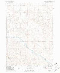
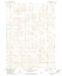
1982 Map of Goldman Lake NE
USGS Topo · Published 1982About this map
The Calamus River winds through this section of the Nebraska Sandhills, defining the landscape between the townships of T 26 N and T 25 N. This 1982 survey, based on aerial photography from 1973, reveals a sparsely populated ranching region where large landholdings like Beale Ranch and Gracey Ranch dominate the terrain. The presence of the Calamus Sch and the Cornish Cem underscores the long-standing community centers that supported isolated families in this river valley. To the southwest, a small Claypit indicates local resource extraction, providing a contrast to the primarily agricultural use of the land. The map illustrates a network of unimproved roads and trails that connected these remote homesteads to one another and the river before modern infrastructure reached this corner of Brown County.
Find a feature on this map
7 named features on this map. Tap any name to fly to it.
Don’t see what you’re looking for? This feature index may not catch every label — zoom into the map to look around manually.
Map Details
Editions of this 1982 Goldman Lake NE Map
This is the sole edition of this map. No revisions or reprints were ever made.
Other maps of this area

1955 · O'Neill
USGS Topo · 1:250,000

1959 · O'Neill
USGS Topo · 1:250,000

1969 · O'Neill
USGS Topo · 1:250,000

1981 · Boiling Spring
USGS Topo · 1:24,000

1981 · Paramount Valley
USGS Topo · 1:24,000

1982 · Raven
USGS Topo · 1:24,000
1982 · Goldman Lake SE
USGS Topo · 1:24,000
1982 · Goldman Lake NW
USGS Topo · 1:24,000
1982 · Raven SW
USGS Topo · 1:24,000
1982 · Hagan Lake
USGS Topo · 1:24,000