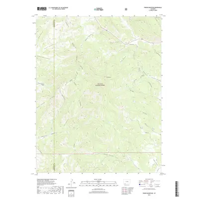
2019 Map of Pargin Mountain
USGS Topo · Published 2019About this map
San Juan National Forest encompasses the majority of this landscape along the border of La Plata and Archuleta counties. Centered on the prominent peak of Pargin Mtn, the area is defined by a dense network of canyons and gulches that drain toward the south and east. Significant watercourses like Sambrito Cr and Ute Cr carve through the terrain, while the eastern portion of the survey is marked by the intricate drainage systems of Fossett Gulch and Turkey Cr. The presence of Co Rd 193 in the southeast corner and several spring-fed creeks, such as Spring Crk (CR-335), indicate the sparse but vital infrastructure supporting this high-elevation forest land. This survey provides a clear view of the complex topography between Long Canyon and Little Bull Cr before these waters reach larger basins to the south.
Find a feature on this map
43 named features on this map. Tap any name to fly to it.
Don’t see what you’re looking for? This feature index may not catch every label — zoom into the map to look around manually.
Map Details
Editions of this 2019 Pargin Mountain Map
This is the sole edition of this map. No revisions or reprints were ever made.
Other maps of this area

1908 · Ignacio
USGS Topo · 1:125,000

1924 · Ignacio
USGS Topo · 1:125,000

1924 · Pagosa Springs
USGS Topo · 1:125,000

1927 · Pagosa Springs
USGS Topo · 1:125,000

1945 · Durango
USGS Topo · 1:250,000

1953 · Durango
USGS Topo · 1:250,000

1954 · Durango
USGS Topo · 1:250,000

1954 · Allison
USGS Topo · 1:24,000

1954 · Carracas
USGS Topo · 1:24,000

1961 · Durango
USGS Topo · 1:250,000