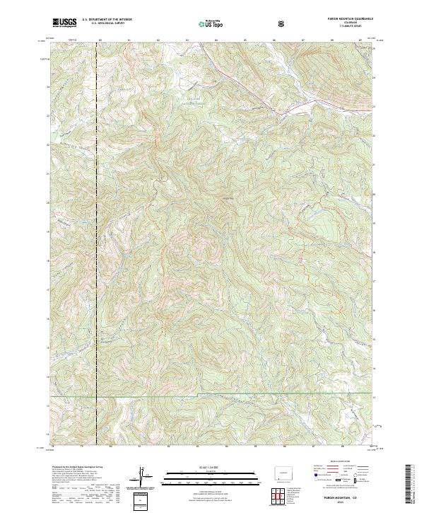
2023 Map of Pargin Mountain
USGS Topo · Published 2023About this map
The San Juan National Forest covers much of this high-country landscape, where the boundary between La Plata and Archuleta counties bisects a network of deep canyons and drainages. The Yellow Jacket GS serves as a notable administrative point amidst a complex system of watercourses including Yellowjacket Creek, Ignacio Creek, and Goose Creek. High-elevation landmarks like Pargin Mtn overlook a series of named gulches and canyons, such as Armstrong Canyon and Fossett Gulch, which illustrate the difficult geography of the southern Colorado Rockies.
Find a feature on this map
42 named features on this map. Tap any name to fly to it.
Don’t see what you’re looking for? This feature index may not catch every label — zoom into the map to look around manually.
Map Details
Editions of this 2023 Pargin Mountain Map
This is the sole edition of this map. No revisions or reprints were ever made.
Other maps of this area

1908 · Ignacio
USGS Topo · 1:125,000

1924 · Ignacio
USGS Topo · 1:125,000

1924 · Pagosa Springs
USGS Topo · 1:125,000

1927 · Pagosa Springs
USGS Topo · 1:125,000

1945 · Durango
USGS Topo · 1:250,000

1953 · Durango
USGS Topo · 1:250,000

1954 · Durango
USGS Topo · 1:250,000

1954 · Allison
USGS Topo · 1:24,000

1954 · Carracas
USGS Topo · 1:24,000

1961 · Durango
USGS Topo · 1:250,000