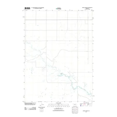
2011 Map of Park Church
USGS Topo · Published 2011About this map
Beaver Creek winds through this section of Antelope County, defining a landscape primarily organized by the rectilinear grid of rural roads. This 2011 survey captures the area’s water management and drainage patterns, anchored by Jennings Dam and the small impoundment of Jennings Reservoir. The map illustrates a sparse, agricultural environment where movement is dictated by local thoroughfares such as 511 Ave and 838 Rd, with few named landmarks beyond these hydrological features. The absence of concentrated settlements or named schools and cemeteries underscores the highly rural, low-density character of this portion of Nebraska at the start of the decade.
Find a feature on this map
11 named features on this map. Tap any name to fly to it.
Don’t see what you’re looking for? This feature index may not catch every label — zoom into the map to look around manually.
Map Details
Editions of this 2011 Park Church Map
This is the sole edition of this map. No revisions or reprints were ever made.
Other maps of this area

1955 · Broken Bow
USGS Topo · 1:250,000

1955 · O'Neill
USGS Topo · 1:250,000

1956 · Broken Bow
USGS Topo · 1:250,000

1959 · O'Neill
USGS Topo · 1:250,000

1960 · Spalding 2 SW
USGS Topo · 1:24,000

1960 · Spalding 2 NW
USGS Topo · 1:24,000

1960 · Spalding 2 NE
USGS Topo · 1:24,000

1960 · Spalding 2 SE
USGS Topo · 1:24,000

1963 · Deloit
USGS Topo · 1:24,000

1963 · Deloit SW
USGS Topo · 1:24,000