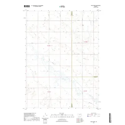
2017 Map of Park Church
USGS Topo · Published 2017About this map
Park Church stands as a focal point in this rural landscape where the borders of Antelope, Wheeler, and Boone counties converge. The terrain is defined by the winding course of Beaver Creek and its tributary Beaver Cr, which feed into the Jennings Reservoir. This area of Nebraska reflects a structured agricultural grid, with section lines marked by routes such as North St and 838th Rd. The presence of the reservoir and the multiple branches of the creek system indicate a landscape deeply tied to water management and drainage in the eastern Sandhills region. The map captures the quiet intersection of these three counties, showing a pattern of dispersed farmsteads connected by a network of gravel and local roads like Valley Rd and Beaver Valley Rd.
Find a feature on this map
18 named features on this map. Tap any name to fly to it.
Don’t see what you’re looking for? This feature index may not catch every label — zoom into the map to look around manually.
Map Details
Editions of this 2017 Park Church Map
This is the sole edition of this map. No revisions or reprints were ever made.
Other maps of this area

1955 · Broken Bow
USGS Topo · 1:250,000

1955 · O'Neill
USGS Topo · 1:250,000

1956 · Broken Bow
USGS Topo · 1:250,000

1959 · O'Neill
USGS Topo · 1:250,000

1960 · Spalding 2 SW
USGS Topo · 1:24,000

1960 · Spalding 2 NW
USGS Topo · 1:24,000

1960 · Spalding 2 NE
USGS Topo · 1:24,000

1960 · Spalding 2 SE
USGS Topo · 1:24,000

1963 · Deloit
USGS Topo · 1:24,000

1963 · Deloit SW
USGS Topo · 1:24,000