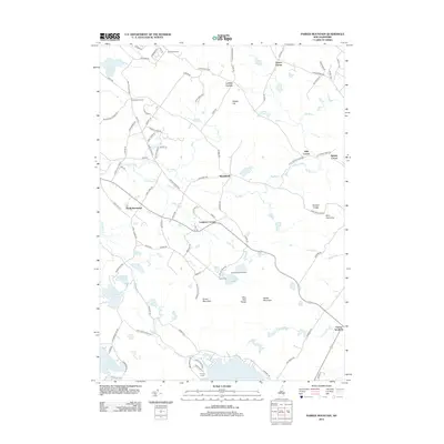
2012 Map of Parker Mountain
USGS Topo · Published 2012About this map
Strafford and the surrounding township are defined by a network of rural hamlets and small water bodies in this 2012 survey of the Blue Hills Range. The map documents the persistent settlement patterns of central New Hampshire, where crossroads like Leighton Corners, Hills Corner, and Dexter Corner maintain their local identities amidst the woodlands. Notable recreation and youth organizations are anchored here, including Camp Foss and Trinity Camp near the shores of Bow Lake and Jenness Pond. The hydrology is particularly prominent, with the Big River and Little River carving paths through the terrain near peaks like Parker Mountain and Evans Mountain. Geologists and local historians can trace the intricate boundary between the drainage basins of Wild Goose Pond and the eastern marshes of Barn Door Gap.
Find a feature on this map
96 named features on this map. Tap any name to fly to it.
Don’t see what you’re looking for? This feature index may not catch every label — zoom into the map to look around manually.
Map Details
Editions of this 2012 Parker Mountain Map
This is the sole edition of this map. No revisions or reprints were ever made.
Other maps of this area

1917 · Mt. Pawtuckaway
USGS Topo · 1:62,500

1919 · Mt. Pawtuckaway
USGS Topo · 1:62,500

1919 · Gilmanton
USGS Topo · 1:62,500

1919 · Alton
USGS Topo · 1:62,500

1921 · Suncook
USGS Topo · 1:62,500

1927 · Gilmanton
USGS Topo · 1:62,500

1939 · Mt. Pawtuckaway
USGS Topo · 1:62,500

1944 · Mt. Pawtuckaway
USGS Topo · 1:62,500

1944 · Suncook
USGS Topo · 1:62,500

1949 · Portland
USGS Topo · 1:250,000