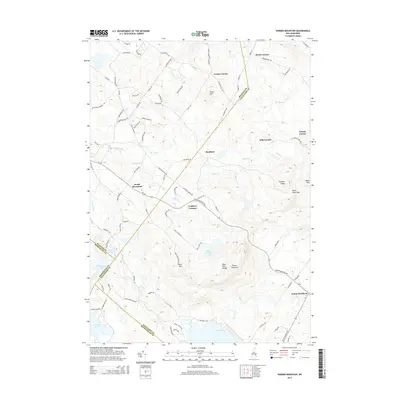
2015 Map of Parker Mountain
USGS Topo · Published 2015About this map
Center Strafford and the surrounding townships in Strafford County are defined by a network of historic crossroads and high-elevation landmarks. This 2015 survey details the upland character of the Blue Hills Range, including the prominent Parker Mountain and the unique geological passage at Barn Door Gap. The map illustrates a rural landscape where modern roads like Rt-126 intersect with much older paths such as Bloody Rice Rd and Old Range Rd.
Find a feature on this map
95 named features on this map. Tap any name to fly to it.
Don’t see what you’re looking for? This feature index may not catch every label — zoom into the map to look around manually.
Map Details
Editions of this 2015 Parker Mountain Map
This is the sole edition of this map. No revisions or reprints were ever made.
Other maps of this area

1917 · Mt. Pawtuckaway
USGS Topo · 1:62,500

1919 · Mt. Pawtuckaway
USGS Topo · 1:62,500

1919 · Gilmanton
USGS Topo · 1:62,500

1919 · Alton
USGS Topo · 1:62,500

1921 · Suncook
USGS Topo · 1:62,500

1927 · Gilmanton
USGS Topo · 1:62,500

1939 · Mt. Pawtuckaway
USGS Topo · 1:62,500

1944 · Mt. Pawtuckaway
USGS Topo · 1:62,500

1944 · Suncook
USGS Topo · 1:62,500

1949 · Portland
USGS Topo · 1:250,000