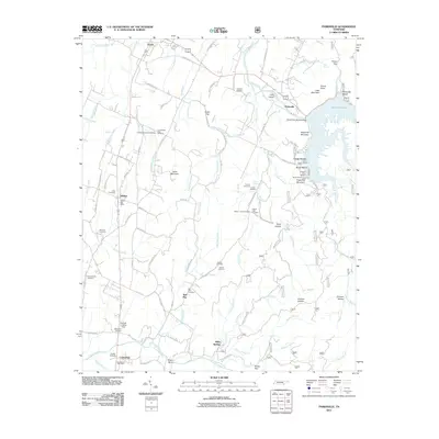
2011 Map of Parksville
USGS Topo · Published 2011About this map
The Ocoee River corridor and its industrial heritage are anchored by Ocoee Dam Number One, marking the northern landscape where Parksville Lake meets the settlement of Parksville. This geography transitions from the river's edge south toward the Conasauga River, where the community of Conasauga and its Conasauga Post Office sit near the Georgia border. The interior is characterized by family-named gaps and hollows, such as Sloan Gap and Durham Hollow, reflecting a long-established rural residency.
Find a feature on this map
110 named features on this map. Tap any name to fly to it.
Don’t see what you’re looking for? This feature index may not catch every label — zoom into the map to look around manually.
Map Details
Editions of this 2011 Parksville Map
This is the sole edition of this map. No revisions or reprints were ever made.
Other maps of this area

1886 · Dalton
USGS Topo · 1:125,000

1886 · Cleveland
USGS Topo · 1:125,000

1892 · Cleveland
USGS Topo · 1:125,000

1892 · Dalton
USGS Topo · 1:125,000

1895 · Cleveland
USGS Topo · 1:125,000

1897 · Dalton
USGS Topo · 1:125,000

1901 · Cleveland
USGS Topo · 1:125,000

1911 · Cohutta Mtn
USGS Topo · 1:62,500

1913 · Cohutta Mtn.
USGS Topo · 1:62,500

1935 · East Cleveland
USGS Topo · 1:24,000