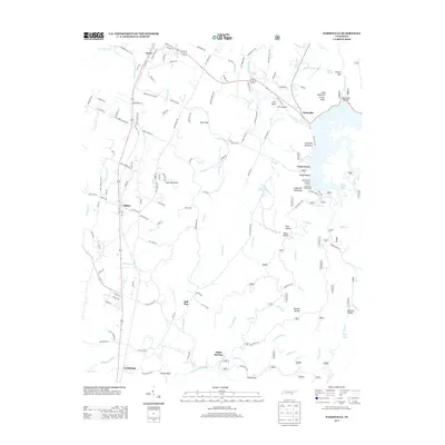
2013 Map of Parksville
USGS Topo · Published 2013About this map
Lake Ocoee and the winding Ocoee River dominate the northern landscape of this Polk County region, serving as a focal point for recreation and local settlement. The map documents several small, historically significant communities including Ocoee, Oldfort, and Conasauga, which are linked by a network of roads that follow the natural contours of the valley. Notable landmarks such as Camp Ocoee and the Devils Point Picnic Area highlight the area's long-standing role as a recreational destination.
Find a feature on this map
142 named features on this map. Tap any name to fly to it.
Don’t see what you’re looking for? This feature index may not catch every label — zoom into the map to look around manually.
Map Details
Editions of this 2013 Parksville Map
This is the sole edition of this map. No revisions or reprints were ever made.
Other maps of this area

1886 · Dalton
USGS Topo · 1:125,000

1886 · Cleveland
USGS Topo · 1:125,000

1892 · Cleveland
USGS Topo · 1:125,000

1892 · Dalton
USGS Topo · 1:125,000

1895 · Cleveland
USGS Topo · 1:125,000

1897 · Dalton
USGS Topo · 1:125,000

1901 · Cleveland
USGS Topo · 1:125,000

1911 · Cohutta Mtn
USGS Topo · 1:62,500

1913 · Cohutta Mtn.
USGS Topo · 1:62,500

1935 · East Cleveland
USGS Topo · 1:24,000