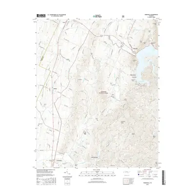
2016 Map of Parksville
USGS Topo · Published 2016About this map
Lake Ocoee and the Ocoee River dominate the northeastern landscape of this region, where the water's edge meets the rising slopes of Chilhowee Mtn and Sugarloaf Mtn. The rugged topography is defined by the Tennessee Valley Divide, separating the complex drainage networks of Sina Br and Cookson Br from the southern flow of the Conasauga River. Significant portions of the land fall within the Cherokee National Forest, providing a snapshot of protected wilderness alongside rural mountain settlements.
Find a feature on this map
121 named features on this map. Tap any name to fly to it.
Don’t see what you’re looking for? This feature index may not catch every label — zoom into the map to look around manually.
Map Details
Editions of this 2016 Parksville Map
This is the sole edition of this map. No revisions or reprints were ever made.
Other maps of this area

1886 · Dalton
USGS Topo · 1:125,000

1886 · Cleveland
USGS Topo · 1:125,000

1892 · Cleveland
USGS Topo · 1:125,000

1892 · Dalton
USGS Topo · 1:125,000

1895 · Cleveland
USGS Topo · 1:125,000

1897 · Dalton
USGS Topo · 1:125,000

1901 · Cleveland
USGS Topo · 1:125,000

1911 · Cohutta Mtn
USGS Topo · 1:62,500

1913 · Cohutta Mtn.
USGS Topo · 1:62,500

1935 · East Cleveland
USGS Topo · 1:24,000