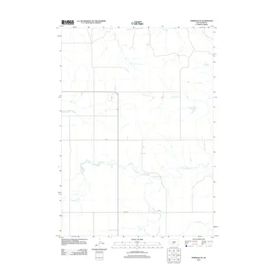
2012 Map of Parmelee NE
USGS Topo · Published 2012About this map
Gray Eagletail Cr and its many unnamed tributaries weave through this landscape in Mellette County, South Dakota, defining the hydrology of the Horse Creek Segment. This 2012 survey illustrates the sparse, high-plains infrastructure of the region, where wide-reaching section lines are occasionally interrupted by rural routes such as Coline Rd and Cs 68. The drainage patterns are the most prominent characteristic of the terrain, with N Br Pine Cr and S Br Pine Cr flowing through the northern half of the quadrangle. In the southern reaches, the map identifies Cut Meat Cr and Swimmer Cr, providing essential landmarks for those tracking family land or local hydrology in this part of the Rosebud Indian Reservation vicinity.
Find a feature on this map
7 named features on this map. Tap any name to fly to it.
Don’t see what you’re looking for? This feature index may not catch every label — zoom into the map to look around manually.
Map Details
Editions of this 2012 Parmelee NE Map
This is the sole edition of this map. No revisions or reprints were ever made.
Other maps of this area

1955 · Martin
USGS Topo · 1:250,000

1958 · Martin
USGS Topo · 1:250,000

1969 · Norris
USGS Topo · 1:24,000

1969 · Eagle Mans Butte
USGS Topo · 1:24,000

1969 · Parmelee NE
USGS Topo · 1:24,000

1969 · Soldier Creek
USGS Topo · 1:24,000

1969 · Parmelee
USGS Topo · 1:24,000

1969 · Soldier Creek NW
USGS Topo · 1:24,000

1980 · Kadoka
USGS Topo · 1:100,000

1981 · Cedar Butte
USGS Topo · 1:25,000