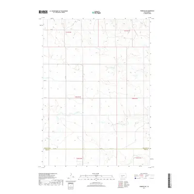
2017 Map of Parmelee NE
USGS Topo · Published 2017About this map
Gray Eagletail Cr and Swimmer Cr drain the southern reaches of this landscape along the border of Mellette and Todd Counties. The terrain is defined by a dendritic network of seasonal drainages, where the N Br Pine Cr and S Br Pine Cr move through the northern sections. This 2017 survey illustrates a sparsely settled region of the Great Plains, where the primary human footprint is a geometric grid of section lines and gravel roads.
Find a feature on this map
16 named features on this map. Tap any name to fly to it.
Don’t see what you’re looking for? This feature index may not catch every label — zoom into the map to look around manually.
Map Details
Editions of this 2017 Parmelee NE Map
This is the sole edition of this map. No revisions or reprints were ever made.
Other maps of this area

1955 · Martin
USGS Topo · 1:250,000

1958 · Martin
USGS Topo · 1:250,000

1969 · Norris
USGS Topo · 1:24,000

1969 · Eagle Mans Butte
USGS Topo · 1:24,000

1969 · Parmelee NE
USGS Topo · 1:24,000

1969 · Soldier Creek
USGS Topo · 1:24,000

1969 · Parmelee
USGS Topo · 1:24,000

1969 · Soldier Creek NW
USGS Topo · 1:24,000

1980 · Kadoka
USGS Topo · 1:100,000

1981 · Cedar Butte
USGS Topo · 1:25,000